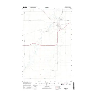
2014 Map of Towner
USGS Topo · Published 2014About this map
Towner serves as the focal point of this McHenry County landscape, situated at the intersection of Us-2 and Nd-14. The town's grid is clearly defined, featuring a local Po and the Towner Municipal Airport to its northeast. The most prominent natural feature is the Souris River, which carves a winding, serpentine path through the terrain. The river’s extensive meanders and oxbows dominate the western and southern portions of the map, illustrating the hydrologic character of the Souris Basin. Surrounding the settlement, a regular network of section-line roads such as 66th St NE and 4th Ave NE organize the agricultural space, while family-named routes like Follman Rd and Willow Rd provide local access to the prairie lands.
Find a feature on this map
27 named features on this map. Tap any name to fly to it.
Don’t see what you’re looking for? This feature index may not catch every label — zoom into the map to look around manually.
Map Details
Editions of this 2014 Towner Map
This is the sole edition of this map. No revisions or reprints were ever made.
Other maps of this area

1949 · Denbigh
USGS Topo · 1:24,000

1949 · Bantry
USGS Topo · 1:24,000

1950 · Karlsruhe NE
USGS Topo · 1:24,000

1950 · Towner NW
USGS Topo · 1:24,000

1950 · Towner
USGS Topo · 1:24,000

1950 · Denbigh
USGS Topo · 1:24,000

1950 · Bantry
USGS Topo · 1:24,000

1954 · Towner NE
USGS Topo · 1:24,000

1954 · Towner SE
USGS Topo · 1:24,000

1954 · Minot
USGS Topo · 1:250,000