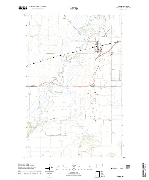
2024 Map of Towner
USGS Topo · Published 2024About this map
The Towner townsite serves as the central hub of this North Dakota landscape, situated along a bend in the Souris River. As the seat of local government, the town is anchored by the McHenry County Courthouse, which stands as a landmark of civic history. The surrounding terrain is defined by the winding course of the river, which snakes through the central and northwestern sections of the map, creating a complex network of wetlands and riparian zones. Transport and infrastructure are concentrated near the settlement, including the Towner Municipal Airport and a grid of rural section roads like Follman Rd and 66th St NE. To the east of the main town center, Saint Cecilias Catholic Cem provides a specific point of interest for genealogists tracing local family histories within this prairie community.
Find a feature on this map
32 named features on this map. Tap any name to fly to it.
Don’t see what you’re looking for? This feature index may not catch every label — zoom into the map to look around manually.
Map Details
Editions of this 2024 Towner Map
This is the sole edition of this map. No revisions or reprints were ever made.
Other maps of this area

1949 · Denbigh
USGS Topo · 1:24,000

1949 · Bantry
USGS Topo · 1:24,000

1950 · Karlsruhe NE
USGS Topo · 1:24,000

1950 · Towner NW
USGS Topo · 1:24,000

1950 · Towner
USGS Topo · 1:24,000

1950 · Denbigh
USGS Topo · 1:24,000

1950 · Bantry
USGS Topo · 1:24,000

1954 · Towner NE
USGS Topo · 1:24,000

1954 · Towner SE
USGS Topo · 1:24,000

1954 · Minot
USGS Topo · 1:250,000