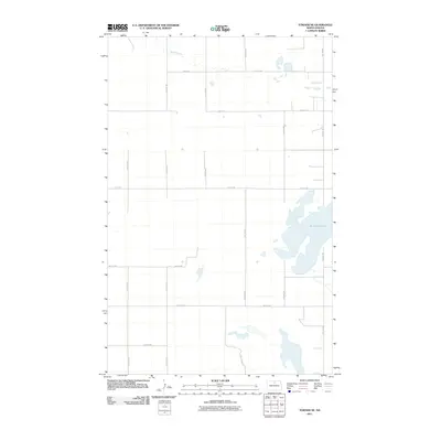
2011 Map of Towner NE
USGS Topo · Published 2011About this map
Horseshoe Lake dominates the eastern portion of this McHenry County landscape, its sprawling shoreline typical of the prairie pothole region. In the northern reaches, Snake Creek meanders through the section lines, defining the drainage patterns of this agricultural expanse. The map illustrates a strict section-line grid system, with roads such as 13th Ave NE and 74th St NE providing the primary framework for local travel between farmsteads. This 2011 survey reflects the enduring rural character of North Dakota, where the intersection of water and surveyed land boundaries dictates the placement of infrastructure. The lack of concentrated settlements highlights the sparse, rural nature of the region, emphasizing the importance of these named local corridors like 19th Ave NE for navigating the vast open country.
Find a feature on this map
14 named features on this map. Tap any name to fly to it.
Don’t see what you’re looking for? This feature index may not catch every label — zoom into the map to look around manually.
Map Details
Editions of this 2011 Towner NE Map
This is the sole edition of this map. No revisions or reprints were ever made.
Other maps of this area

1950 · Towner NW
USGS Topo · 1:24,000

1950 · Towner
USGS Topo · 1:24,000

1950 · Willow City SW
USGS Topo · 1:24,000

1954 · Towner NE
USGS Topo · 1:24,000

1954 · Barton
USGS Topo · 1:24,000

1954 · Berwick
USGS Topo · 1:24,000

1954 · Round Lake
USGS Topo · 1:24,000

1954 · Willow City
USGS Topo · 1:24,000

1954 · Towner SE
USGS Topo · 1:24,000

1954 · Minot
USGS Topo · 1:250,000