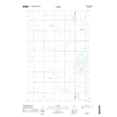
2017 Map of Towner NE
USGS Topo · Published 2017About this map
Horseshoe Lake dominates the southeastern portion of this landscape on the border of McHenry County and Pierce County. This 2017 study reflects a region shaped by North Dakota's glacial prairie pothole topography, where numerous unnamed wetlands and small water bodies dot the township lines of t158n r75w and t157n r74w. In the northern sections, the drainage of Snake Creek winds through the terrain, illustrating the hydrologic character of the Souris River basin. The map detail highlights a sparse, rural grid of section-line roads, including 11th Avenue NE and 74th Street NE, which serve the agricultural allotments characteristic of the northern Great Plains.
Find a feature on this map
19 named features on this map. Tap any name to fly to it.
Don’t see what you’re looking for? This feature index may not catch every label — zoom into the map to look around manually.
Map Details
Editions of this 2017 Towner NE Map
This is the sole edition of this map. No revisions or reprints were ever made.
Other maps of this area

1950 · Towner NW
USGS Topo · 1:24,000

1950 · Towner
USGS Topo · 1:24,000

1950 · Willow City SW
USGS Topo · 1:24,000

1954 · Towner NE
USGS Topo · 1:24,000

1954 · Barton
USGS Topo · 1:24,000

1954 · Berwick
USGS Topo · 1:24,000

1954 · Round Lake
USGS Topo · 1:24,000

1954 · Willow City
USGS Topo · 1:24,000

1954 · Towner SE
USGS Topo · 1:24,000

1954 · Minot
USGS Topo · 1:250,000