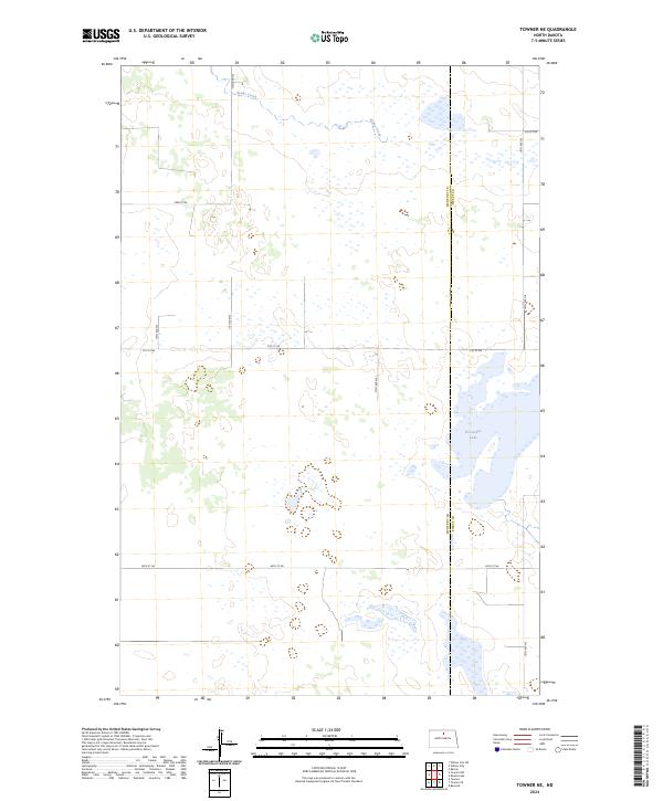
2024 Map of Towner NE
USGS Topo · Published 2024About this map
The prairie pothole region of North Dakota is on full display across this landscape, dominated by a dense network of seasonal wetlands and small water bodies. The boundary between McHenry Co and Pierce Co bisects the sheet, highlighting the shared geography of the Central Flyway. Conservation is central to the land use here, with large portions of the eastern terrain dedicated to the Pierce County Waterfowl Production Area and the McHenry County Waterfowl Production Area. These protected zones, alongside features like Horseshoe Lake and the meandering Snake Creek, illustrate the essential hydrology of the northern plains. The road network follows a strict sectional grid, with routes such as 11th Ave NE and 74th St NE providing access to this otherwise open, agrarian landscape.
Find a feature on this map
17 named features on this map. Tap any name to fly to it.
Don’t see what you’re looking for? This feature index may not catch every label — zoom into the map to look around manually.
Map Details
Editions of this 2024 Towner NE Map
This is the sole edition of this map. No revisions or reprints were ever made.
Other maps of this area

1950 · Towner NW
USGS Topo · 1:24,000

1950 · Towner
USGS Topo · 1:24,000

1950 · Willow City SW
USGS Topo · 1:24,000

1954 · Towner NE
USGS Topo · 1:24,000

1954 · Barton
USGS Topo · 1:24,000

1954 · Berwick
USGS Topo · 1:24,000

1954 · Round Lake
USGS Topo · 1:24,000

1954 · Willow City
USGS Topo · 1:24,000

1954 · Towner SE
USGS Topo · 1:24,000

1954 · Minot
USGS Topo · 1:250,000