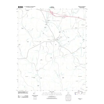
2011 Map of Townley
USGS Topo · Published 2011About this map
Townley and the surrounding hollows of Walker County are documented here in detail, centered on the historic mill site of Boshells Mill and Boshells Mill Dam on the Bean River. The landscape is a network of named ridges and drainage basins, including the West Fork Lost Creek and Wolf Creek, which carve out family-named landforms like Boshell Hill and Lockhart Hill. The map reveals a high concentration of local history through its numerous burial grounds, such as Guthrie Cemetery, Palmers Cemetery, and the New Hope Cemetery near the northern boundary. Small settlements like Cedrum, Holly Grove, and Hilliard are connected by a winding grid of rural routes including Coal Valley Rd and Supreme Rd, reflecting the area's agricultural and industrial legacy within the Alabama coalfields.
Find a feature on this map
101 named features on this map. Tap any name to fly to it.
Don’t see what you’re looking for? This feature index may not catch every label — zoom into the map to look around manually.
Map Details
Editions of this 2011 Townley Map
This is the sole edition of this map. No revisions or reprints were ever made.
Other maps of this area

1893 · Jasper
USGS Topo · 1:125,000

1949 · Parrish
USGS Topo · 1:24,000

1949 · Townley
USGS Topo · 1:24,000

1949 · Jasper
USGS Topo · 1:24,000

1949 · Oakman
USGS Topo · 1:24,000

1949 · Manchester
USGS Topo · 1:24,000

1949 · Nauvoo
USGS Topo · 1:24,000

1950 · Nauvoo
USGS Topo · 1:24,000

1950 · Manchester
USGS Topo · 1:24,000

1951 · Jasper
USGS Topo · 1:24,000