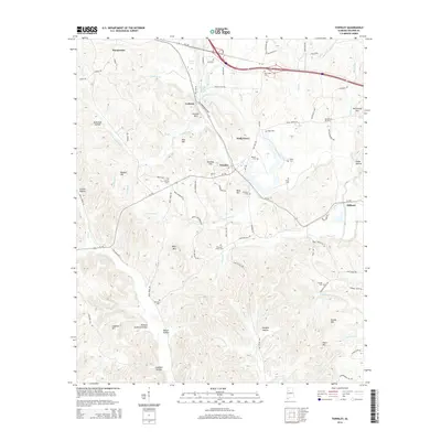
2014 Map of Townley
USGS Topo · Published 2014About this map
Townley and Holly Grove sit at the center of this Walker County landscape, where the terrain is defined by a dense network of ridges and hollows such as Gum Suck Hollow and Barner Hollow. The area's settlement history is marked by numerous family and community burial grounds, including Guthrie Cem, New Hope Cem, and Macedonia Cem. The water system is particularly intricate here, with Lost Creek and the Bear River winding through the topography, occasionally pooling into features like Boshells Mill Pond near Cedrum.
Find a feature on this map
105 named features on this map. Tap any name to fly to it.
Don’t see what you’re looking for? This feature index may not catch every label — zoom into the map to look around manually.
Map Details
Editions of this 2014 Townley Map
This is the sole edition of this map. No revisions or reprints were ever made.
Other maps of this area

1893 · Jasper
USGS Topo · 1:125,000

1949 · Parrish
USGS Topo · 1:24,000

1949 · Townley
USGS Topo · 1:24,000

1949 · Jasper
USGS Topo · 1:24,000

1949 · Oakman
USGS Topo · 1:24,000

1949 · Manchester
USGS Topo · 1:24,000

1949 · Nauvoo
USGS Topo · 1:24,000

1950 · Nauvoo
USGS Topo · 1:24,000

1950 · Manchester
USGS Topo · 1:24,000

1951 · Jasper
USGS Topo · 1:24,000