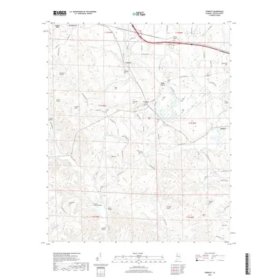
2018 Map of Townley
USGS Topo · Published 2018About this map
Townley and Carbon Hill anchor this portion of the Alabama coalfields in Walker County, where the landscape is defined by its ridge-and-valley topography and numerous family-named landmarks. The area is heavily marked by local heritage, featuring a high density of small cemeteries including Fike and Inman Cem, Macedonia Cem, and Manasco Cem. These sites, often situated near summits like Cedrum Mtn and Wolf Mtn, provide significant data points for genealogists tracing the settlement patterns of families in the Holly Grove and Hilliard vicinities. Drainage systems such as Lost Creek and Hurricane Cr wind through the hollows, including Gum Suck Hollow and Cooner Hollow, illustrating how the terrain dictated the placement of early homesteads and connecting routes like Copperhead Rd.
Find a feature on this map
104 named features on this map. Tap any name to fly to it.
Don’t see what you’re looking for? This feature index may not catch every label — zoom into the map to look around manually.
Map Details
Editions of this 2018 Townley Map
This is the sole edition of this map. No revisions or reprints were ever made.
Other maps of this area

1893 · Jasper
USGS Topo · 1:125,000

1949 · Parrish
USGS Topo · 1:24,000

1949 · Townley
USGS Topo · 1:24,000

1949 · Jasper
USGS Topo · 1:24,000

1949 · Oakman
USGS Topo · 1:24,000

1949 · Manchester
USGS Topo · 1:24,000

1949 · Nauvoo
USGS Topo · 1:24,000

1950 · Nauvoo
USGS Topo · 1:24,000

1950 · Manchester
USGS Topo · 1:24,000

1951 · Jasper
USGS Topo · 1:24,000