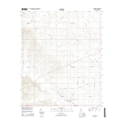
2015 Map of Townsend
USGS Topo · Published 2015About this map
Townsend and the neighboring settlement of Carters anchor this portion of Kemper County, where the landscape is defined by the winding course of the Sucarnoochee River. The area is a network of rural routes and family-named roads, including Haze Cherry Rd and Johnny Puckett Rd, reflecting a deep-rooted local history. Numerous smaller waterways like Big Scooba Cr and Bodka Cr drain the terrain, which is interspersed with significant genealogical sites such as Antioch Cem and Cherry Cem.
Find a feature on this map
47 named features on this map. Tap any name to fly to it.
Don’t see what you’re looking for? This feature index may not catch every label — zoom into the map to look around manually.
Map Details
Editions of this 2015 Townsend Map
This is the sole edition of this map. No revisions or reprints were ever made.
Other maps of this area

1953 · Meridian
USGS Topo · 1:250,000

1957 · Meridian
USGS Topo · 1:250,000

1962 · Lauderdale NW
USGS Topo · 1:24,000

1962 · Oak Grove
USGS Topo · 1:24,000

1962 · Shuqualak
USGS Topo · 1:24,000

1963 · De Kalb
USGS Topo · 1:24,000

1963 · Townsend
USGS Topo · 1:24,000

1963 · Gholson
USGS Topo · 1:24,000

1965 · Meridian
USGS Topo · 1:250,000

1973 · Scooba
USGS Topo · 1:24,000