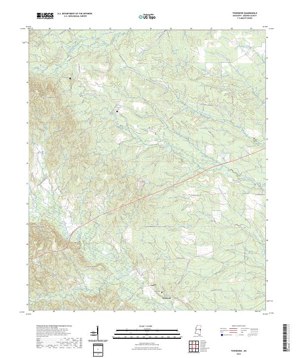
2024 Map of Townsend
USGS Topo · Published 2024About this map
The Sucarnoochee River flows through the southern portion of this landscape, anchoring a rural Mississippi environment defined by winding waterways and family-named homestead roads. Small settlements like Townsend and Carters are established near the riverbanks, while the topography rises toward Sucarnoochee Hill to the west. The area is marked by a high density of small family and community burial grounds, including Felton Cem, Antioch Cem, and Cherry Cem, which serve as vital touchstones for genealogical research in Kemper County.
Find a feature on this map
49 named features on this map. Tap any name to fly to it.
Don’t see what you’re looking for? This feature index may not catch every label — zoom into the map to look around manually.
Map Details
Editions of this 2024 Townsend Map
This is the sole edition of this map. No revisions or reprints were ever made.
Other maps of this area

1953 · Meridian
USGS Topo · 1:250,000

1957 · Meridian
USGS Topo · 1:250,000

1962 · Lauderdale NW
USGS Topo · 1:24,000

1962 · Oak Grove
USGS Topo · 1:24,000

1962 · Shuqualak
USGS Topo · 1:24,000

1963 · De Kalb
USGS Topo · 1:24,000

1963 · Townsend
USGS Topo · 1:24,000

1963 · Gholson
USGS Topo · 1:24,000

1965 · Meridian
USGS Topo · 1:250,000

1973 · Scooba
USGS Topo · 1:24,000