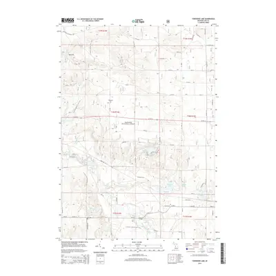
2014 Map of Townsend Lake
USGS Topo · Published 2014About this map
The Manistee National Forest dominates this landscape in Lake County, where the Pere Marquette River winds through the southern terrain. This river corridor serves as a central artery for the region's geography, featuring the Bowman Bridge crossing and the winding N Country National Scenic Trail. The map reveals a high concentration of small kettle lakes and wetlands, including Townsend Lake, Wingleton Lake, and Railroad Lake, which suggest a glacial legacy and a history of local recreation or conservation.
Find a feature on this map
59 named features on this map. Tap any name to fly to it.
Don’t see what you’re looking for? This feature index may not catch every label — zoom into the map to look around manually.
Map Details
Editions of this 2014 Townsend Lake Map
This is the sole edition of this map. No revisions or reprints were ever made.
Other maps of this area

1931 · Baldwin NW
USGS Topo · 1:31,680

1931 · Custer NE
USGS Topo · 1:31,680

1931 · Baldwin NE
USGS Topo · 1:31,680

1931 · Custer SE
USGS Topo · 1:31,680

1932 · Freesoil SE
USGS Topo · 1:31,680

1933 · Peacock SE
USGS Topo · 1:31,680

1933 · Peacock SW
USGS Topo · 1:31,680

1954 · Traverse City
USGS Topo · 1:250,000

1954 · Milwaukee
USGS Topo · 1:250,000

1954 · Midland
USGS Topo · 1:250,000