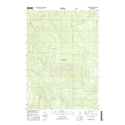
2017 Map of Townsend Lake
USGS Topo · Published 2017About this map
Manistee National Forest defines the character of this Michigan landscape, where a complex network of recreational trails and forest roads crisscrosses the timberlands. The N Country National Scenic Trail winds through the western half of the map, passing near the high ground of Ward Hills. Water is a central feature of the terrain, with the Pere Marquette River flowing through the southern sections near the small settlement of Bowman Bridge. Genealogists and local historians can find two important burial sites: Sweetwater Cem to the north and Lake Cem further south. The map illustrates a landscape dotted with numerous glacial lakes, including Pine Island Lake, Townsend Lake, and Wingleton Lake, which are connected by seasonal creeks like Kinney Cr and Sweetwater Cr. This 2017 survey provides an exacting record of the modern trail systems, such as the Fox Trl and Jigger Trl, that support the region's outdoor economy.
Find a feature on this map
76 named features on this map. Tap any name to fly to it.
Don’t see what you’re looking for? This feature index may not catch every label — zoom into the map to look around manually.
Map Details
Editions of this 2017 Townsend Lake Map
This is the sole edition of this map. No revisions or reprints were ever made.
Other maps of this area

1931 · Baldwin NW
USGS Topo · 1:31,680

1931 · Custer NE
USGS Topo · 1:31,680

1931 · Baldwin NE
USGS Topo · 1:31,680

1931 · Custer SE
USGS Topo · 1:31,680

1932 · Freesoil SE
USGS Topo · 1:31,680

1933 · Peacock SE
USGS Topo · 1:31,680

1933 · Peacock SW
USGS Topo · 1:31,680

1954 · Traverse City
USGS Topo · 1:250,000

1954 · Milwaukee
USGS Topo · 1:250,000

1954 · Midland
USGS Topo · 1:250,000