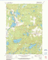
1972 Map of Townsend
USGS Topo · Published 1990About this map
Nicolet National Forest dominates this Oconto County landscape, where the settlements of Townsend and Lakewood are linked by the Chicago and North Western rail line. The region is defined by its extensive water network, ranging from the broad Townsend Flowage to the branching North Branch Oconto River. Local infrastructure for conservation and forestry is evident at the State Fish Hatchery and the Archibald Lookout Tower, while the Forest Home Cem provides a point of genealogical interest. Smaller named bodies like Smoke Lake, Little Bear Lake, and the uniquely shaped Chicken Foot Lake are scattered throughout the timberland. Along the McCaslin Brook and near the primary roads, scattered Gravel Pits indicate local industry supporting the rural road network in the early 1970s.
Find a feature on this map
68 named features on this map. Tap any name to fly to it.
Don’t see what you’re looking for? This feature index may not catch every label — zoom into the map to look around manually.
Map Details
Editions of this 1972 Townsend Map
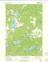
2 editions found
Other maps of this area

1940 · Thunder Mtn.
USGS Topo · 1:48,000

1942 · Breed
USGS Topo · 1:48,000

1942 · Wabeno
USGS Topo · 1:48,000

1950 · Wabeno
USGS Topo · 1:48,000

1951 · Wabeno
USGS Topo · 1:48,000

1951 · Thunder Mountain
USGS Topo · 1:48,000

1952 · Langlade
USGS Topo · 1:48,000

1952 · Mountain
USGS Topo · 1:48,000

1954 · Iron Mountain
USGS Topo · 1:250,000

1959 · Iron Mountain
USGS Topo · 1:250,000