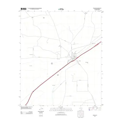
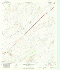
2013 Map of Toyah
USGS Topo · Published 2013About this map
Toyah anchors this Trans-Pecos landscape, showing its street grid nestled between the interstate and the expansive arid terrain of Reeves County. The settlement's history is reflected in its three distinct burial grounds: the Toyah Old Cem, the Toyah New Cem, and the Mexican Cem. This layout preserves the town's traditional core along streets like Rio Grande St and S Centre St, while the surrounding ranching economy is evidenced by a network of named water-sourcing landmarks such as the Cargill Windmill, Griffin Windmill, and White House Windmill. The natural topography is defined by ephemeral drainage patterns like China Draw and Moody Draw, which channel runoff toward the southwest. To the east, Bullington Hill rises as a singular named landmark, while the local transportation network extends via Ranch Road 2903 and numerous county roads.
Find a feature on this map
39 named features on this map. Tap any name to fly to it.
Don’t see what you’re looking for? This feature index may not catch every label — zoom into the map to look around manually.
Map Details
Editions of this 2013 Toyah Map
This is the sole edition of this map. No revisions or reprints were ever made.
Other maps of this area
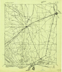
1921 · Toyah
USGS Topo · 1:125,000

1954 · Pecos
USGS Topo · 1:250,000
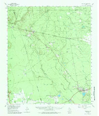
1955 · Saragosa
USGS Topo · 1:62,500

1957 · Pecos
USGS Topo · 1:250,000
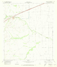
1970 · Hermosa SW
USGS Topo · 1:24,000
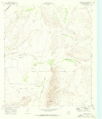
1970 · Florenzo Hill
USGS Topo · 1:24,000
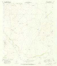
1970 · Big Hill
USGS Topo · 1:24,000
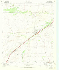
1970 · Toyah
USGS Topo · 1:24,000
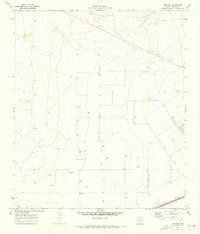
1970 · Hermosa
USGS Topo · 1:24,000
1970 · Gozar
USGS Topo · 1:24,000