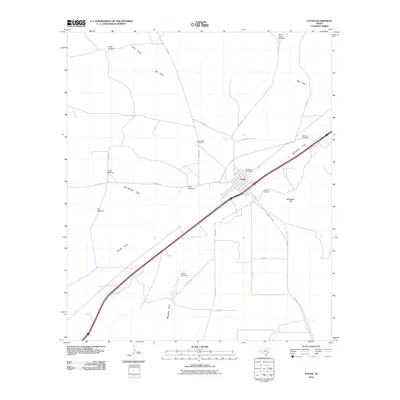
2022 Map of Toyah
USGS Topo · Published 2022About this map
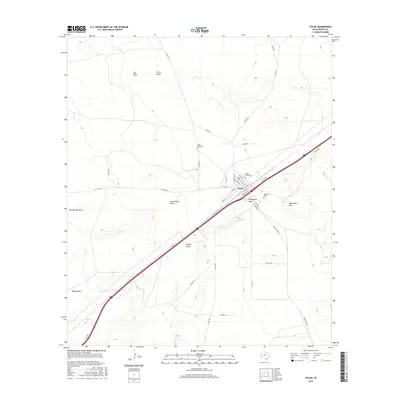
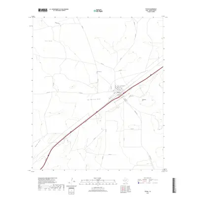
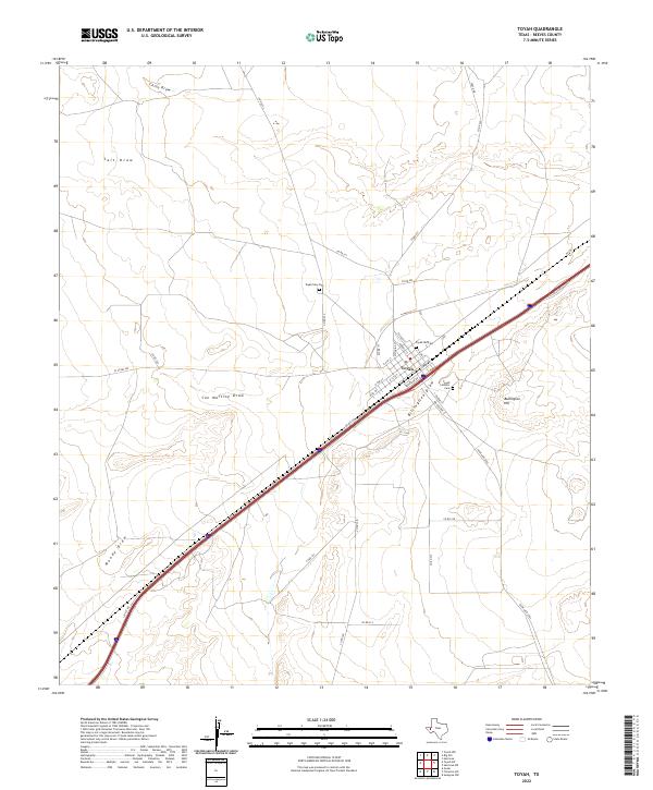
The settlement of Toyah is the focal point of this arid West Texas landscape, situated along a transportation corridor defined by a high-speed interstate and local connectors. The town's grid is preserved in detail, featuring streets such as Elliott St, Duboise St, and Hayne St. Local heritage is anchored by three distinct burial grounds: the Toyah Old Cem, the Toyah New Cem, and the Toyah Catholic Cem, which provide significant points of interest for genealogical researchers looking into Reeves County families.
Find a feature on this map
35 named features on this map. Tap any name to fly to it.
Don’t see what you’re looking for? This feature index may not catch every label — zoom into the map to look around manually.
Map Details
Editions of this 2022 Toyah Map
This is the sole edition of this map. No revisions or reprints were ever made.
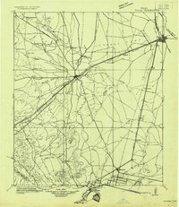
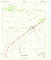
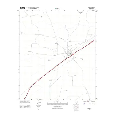
Historical Maps of Toyah Through Time
7 maps found