
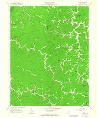
1963 Map of Trace
USGS Topo · Published 1977About this map
Twelvepole Creek winds through the complex ridge-and-hollow topography of southwestern West Virginia, serving as a primary corridor for the Norfolk and Western railroad. This map reveals a landscape heavily shaped by local education and faith, with numerous small institutions like Hugh Dingess Sch, Dalton Sch No 3, and Pilgrim Rest Ch anchoring isolated communities along the narrow valley floors. These settlements, including Trace and Dingess, are interconnected by a network of winding roads and several jeep trails that navigate the high terrain of Kiah Ridge.
Find a feature on this map
99 named features on this map. Tap any name to fly to it.
Don’t see what you’re looking for? This feature index may not catch every label — zoom into the map to look around manually.
Map Details
Editions of this 1963 Trace Map
2 editions found
Other maps of this area

1887 · Warfield
USGS Topo · 1:125,000

1891 · Warfield
USGS Topo · 1:125,000

1892 · Huntington
USGS Topo · 1:125,000

1898 · Huntington
USGS Topo · 1:125,000

1902 · Midkiff
USGS Topo · 1:62,500

1907 · Midkiff
USGS Topo · 1:62,500

1909 · Wayne
USGS Topo · 1:62,500

1909 · Midkiff
USGS Topo · 1:62,500

1910 · Holden
USGS Topo · 1:48,000

1910 · Naugatuck
USGS Topo · 1:48,000