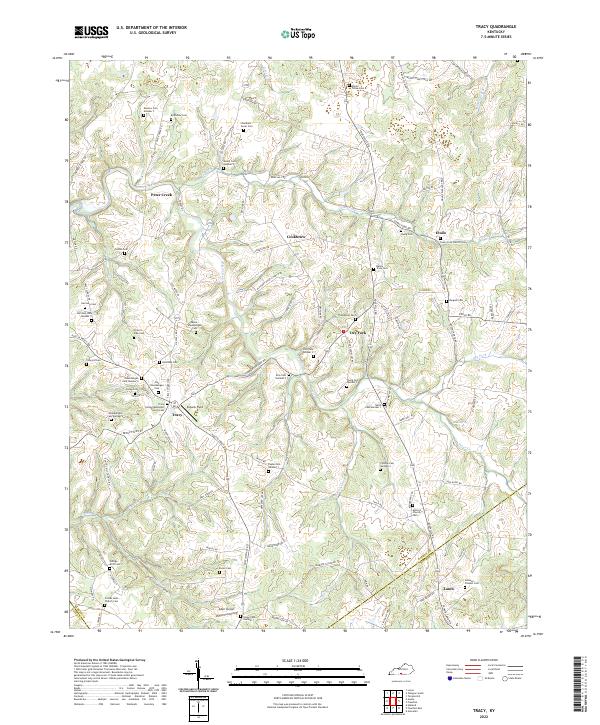
2022 Map of Tracy
USGS Topo · Published 2022About this map
Peter Creek and Caney Fork carve through the landscape of southern Barren County, defining a region characterized by small rural settlements and a high density of family cemeteries. At the junction of Austin Tracy Rd and Tracy Rd, the community of Tracy serves as a local hub, anchored by the Tracy United Methodist Church and nearby Eubank Field. The map reveals a deeply rooted genealogical landscape, with dozens of numbered burial sites like Kinslow Cem Number 1, Harrison Cem Number 3, and Payne Cem Number 1 scattered across the ridges.
Find a feature on this map
116 named features on this map. Tap any name to fly to it.
Don’t see what you’re looking for? This feature index may not catch every label — zoom into the map to look around manually.
Map Details
Editions of this 2022 Tracy Map
This is the sole edition of this map. No revisions or reprints were ever made.
Other maps of this area

1926 · Scottsville
USGS Topo · 1:62,500

1931 · Lafayette
USGS Topo · 1:62,500

1931 · Red Boiling Springs
USGS Topo · 1:62,500

1953 · Tracy
USGS Topo · 1:24,000

1953 · Temple Hill
USGS Topo · 1:24,000

1953 · Glasgow South
USGS Topo · 1:24,000

1953 · Freedom
USGS Topo · 1:24,000

1954 · Austin
USGS Topo · 1:24,000

1954 · Fountain Run
USGS Topo · 1:24,000

1954 · Gamaliel
USGS Topo · 1:24,000