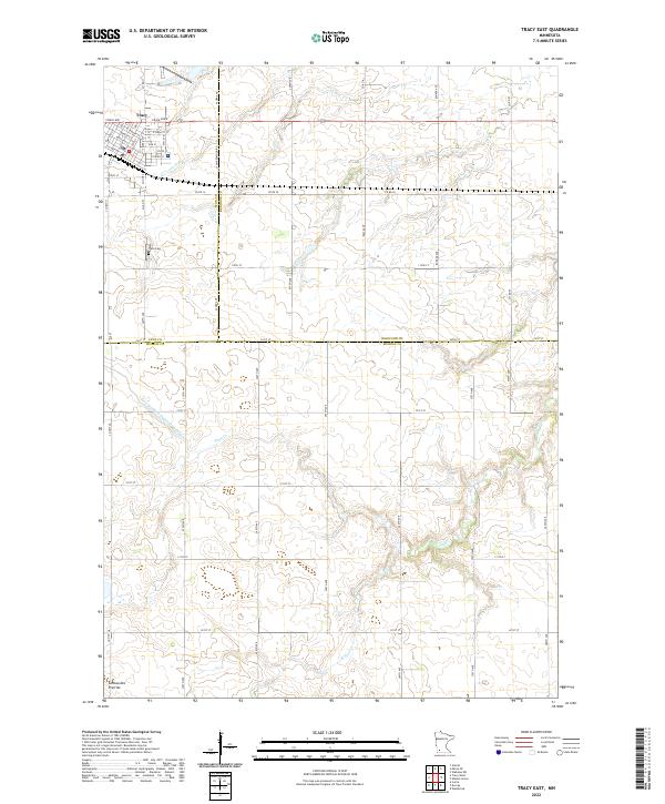
2022 Map of Tracy East
USGS Topo · Published 2022About this map
Tracy anchors the northwestern corner of this agricultural survey, situated at the intersection of several regional routes including Co Hwy 11 and Craig Ave. The town's grid is bisected by the DM&E RR, reflecting the critical role of rail infrastructure in moving crops and supplies across the southwest Minnesota plains. To the south, the Tracy Cem stands on the outskirts of the settlement, while the landscape gradually rises toward the distinctive landform of the Coteau des Prairies.
Find a feature on this map
52 named features on this map. Tap any name to fly to it.
Don’t see what you’re looking for? This feature index may not catch every label — zoom into the map to look around manually.
Map Details
Editions of this 2022 Tracy East Map
This is the sole edition of this map. No revisions or reprints were ever made.
Other maps of this area

1953 · New Ulm
USGS Topo · 1:250,000

1957 · New Ulm
USGS Topo · 1:250,000

1958 · New Ulm
USGS Topo · 1:250,000

1962 · Milroy SE
USGS Topo · 1:24,000

1962 · Amiret
USGS Topo · 1:24,000

1967 · New Ulm
USGS Topo · 1:250,000

1967 · Walnut Grove
USGS Topo · 1:24,000

1967 · Tracy East
USGS Topo · 1:24,000
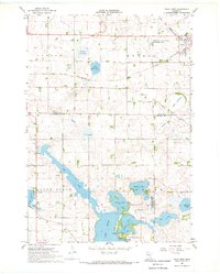
1967 · Tracy West
USGS Topo · 1:24,000

1967 · Dovray
USGS Topo · 1:24,000