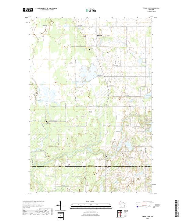
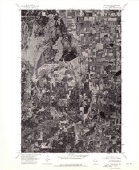
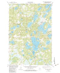
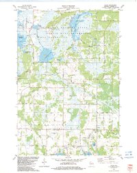
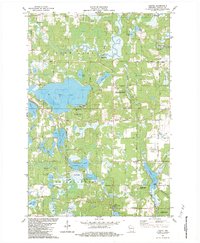
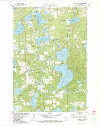
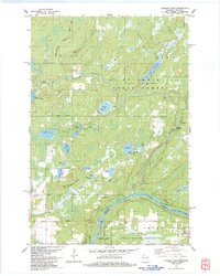
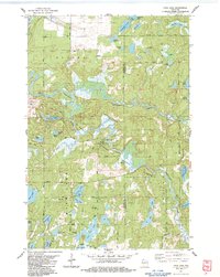
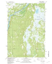
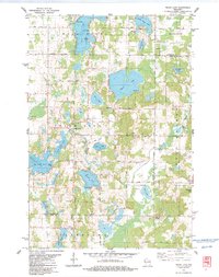
2022 Map of Trade River
USGS Topo · Published 2022About this map
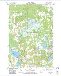
The Trade River flows through the heart of this landscape along the border of Burnett and Polk counties, anchoring a region defined by its complex glacial hydrology. The small settlement of Branstad sits near the northern edge, while the namesake community of Trade River is located further south near the confluence of local streams. For genealogists, the map preserves the locations of several important local landmarks, including Saint Olaf Cem, Logging Creek Cem, and the Trade River Evangelical Free Church Cem.
Find a feature on this map
74 named features on this map. Tap any name to fly to it.
Don’t see what you’re looking for? This feature index may not catch every label — zoom into the map to look around manually.
Map Details
Editions of this 2022 Trade River Map
This is the sole edition of this map. No revisions or reprints were ever made.
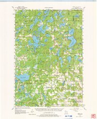
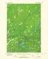
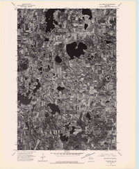
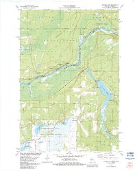
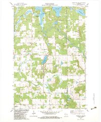
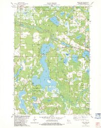
Historical Maps of Anderson Through Time
40 maps found

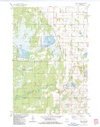
1949 Hertel
Burnett County, WI

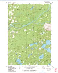
1949 Webb Lake
Burnett County, WI
1955 Hertel
Burnett County, WI
1955 Webb Lake
Burnett County, WI
1974 Milltown NE
Burnett County, WI
1974 Milltown NW
Burnett County, WI
1982 Birch Island Lake
Burnett County, WI
1982 Falun
Burnett County, WI
1982 Hertel
Burnett County, WI
1982 Mc Kenzie Lake
Burnett County, WI
1982 Monson Lake
Burnett County, WI
1982 Poquettes Lake
Burnett County, WI
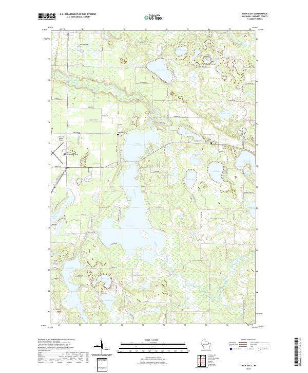
1982 Siren East
Burnett County, WI
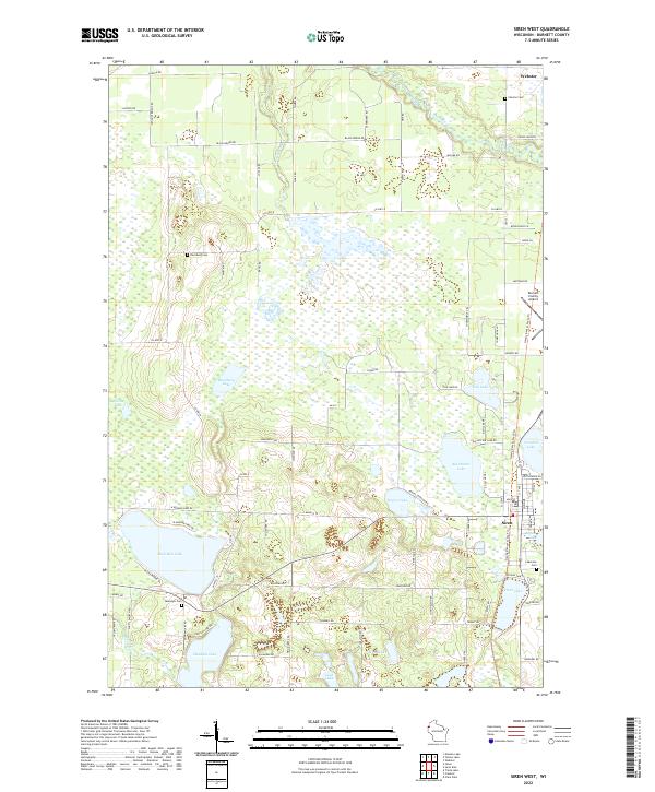
1982 Siren West
Burnett County, WI
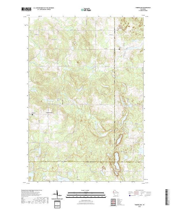
1982 Timberland
Burnett County, WI
1982 Yellow Lake
Burnett County, WI
1983 Danbury East
Burnett County, WI
1983 Danbury West
Burnett County, WI
1983 Frog Lake
Burnett County, WI
1983 Randall
Burnett County, WI
1983 Trade Lake
Burnett County, WI
1983 Trade River
Burnett County, WI
1983 Webb Lake
Burnett County, WI
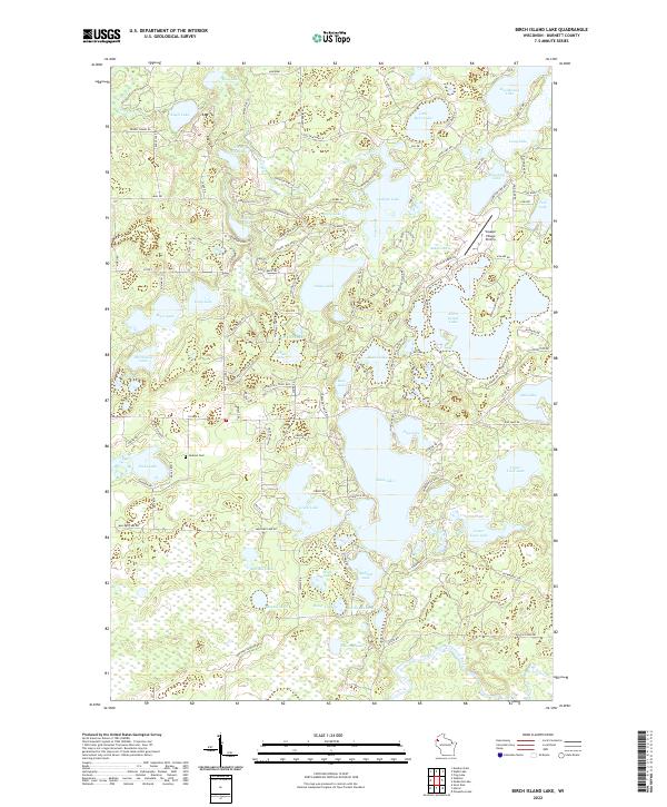
2022 Birch Island Lake
Burnett County, WI
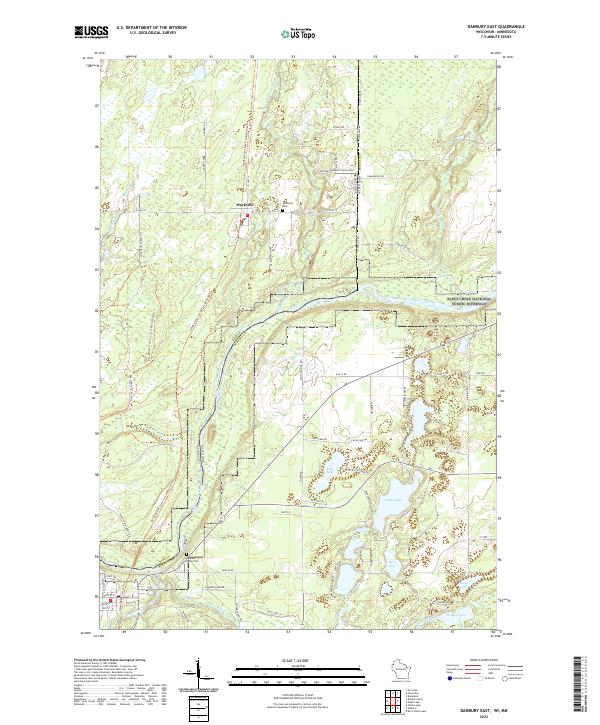
2022 Danbury East
Burnett County, WI
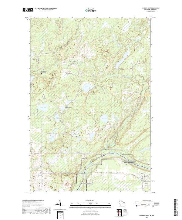
2022 Danbury West
Burnett County, WI
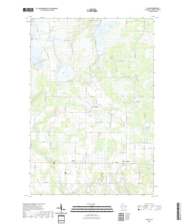
2022 Falun
Burnett County, WI
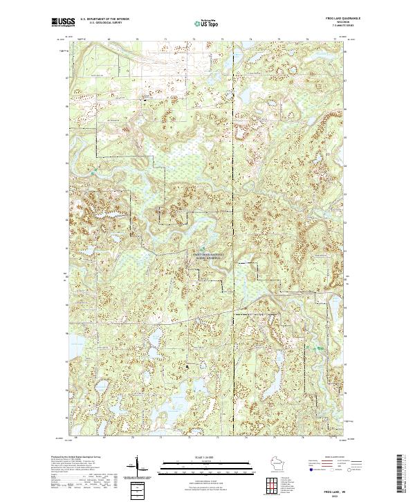
2022 Frog Lake
Burnett County, WI
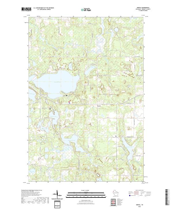
2022 Hertel
Burnett County, WI
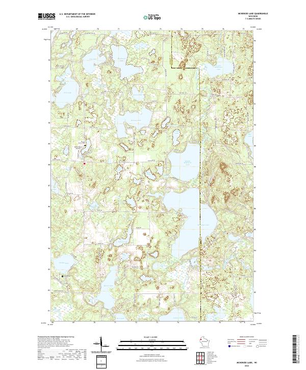
2022 McKenzie Lake
Burnett County, WI
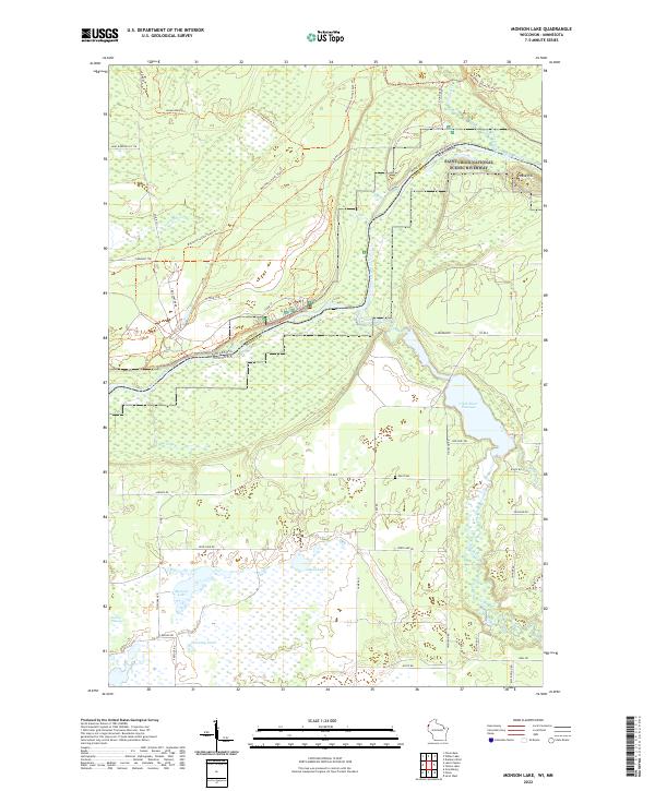
2022 Monson Lake
Burnett County, WI
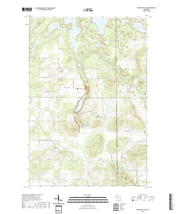
2022 Poquettes Lake
Burnett County, WI
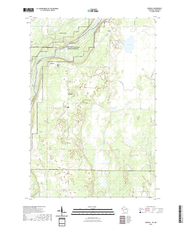
2022 Randall
Burnett County, WI
2022 Siren East
Burnett County, WI
2022 Siren West
Burnett County, WI
2022 Timberland
Burnett County, WI
2022 Trade Lake
Burnett County, WI
2022 Trade River
Burnett County, WI
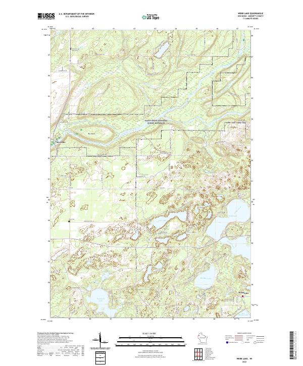
2022 Webb Lake
Burnett County, WI
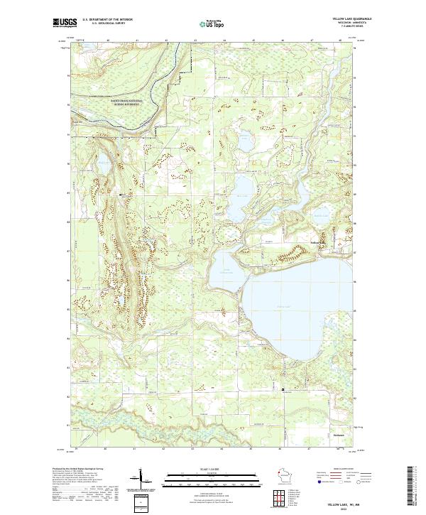
2022 Yellow Lake
Burnett County, WI