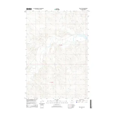
2015 Map of Trail City SW
USGS Topo · Published 2015About this map
The Moreau River carves a winding path through the center of this Dewey County landscape, defining the topography of the region. The map captures the river as it flows eastward toward the expansive Lake Oahe, which borders the northeastern edge of the quadrangle. This area is characterized by a high density of named drainage systems, including Handboy Cr, Marshall Cr, and Veo Cr, which feed into the main river channel. The presence of Bia-3 and Promise Rd indicates the primary transit routes through this rural territory, providing essential links between remote homesteads and larger settlements beyond the map's borders. For researchers, these local roads and watercourses offer a clear view of how the natural geography influenced the development of transit and land use in this part of South Dakota.
Find a feature on this map
11 named features on this map. Tap any name to fly to it.
Don’t see what you’re looking for? This feature index may not catch every label — zoom into the map to look around manually.
Map Details
Editions of this 2015 Trail City SW Map
This is the sole edition of this map. No revisions or reprints were ever made.
Other maps of this area

1951 · Virginia
USGS Topo · 1:24,000

1951 · Ridgeview NE
USGS Topo · 1:24,000

1951 · La Plant
USGS Topo · 1:24,000

1951 · Promise
USGS Topo · 1:24,000

1952 · Trail City SW
USGS Topo · 1:24,000

1952 · Glencross SE
USGS Topo · 1:24,000

1953 · McIntosh
USGS Topo · 1:250,000

1958 · McIntosh
USGS Topo · 1:250,000

1975 · Laundreaux Butte
USGS Topo · 1:24,000

1975 · Trail City
USGS Topo · 1:24,000