
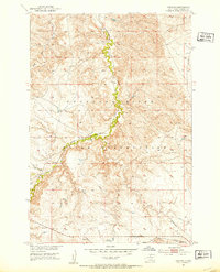
1952 Map of Trail City SW
USGS Topo · Published 1987About this map
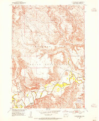
The Cheyenne River Indian Reservation landscape is defined here by the winding course of the Moreau River as it enters Lake Oahe. This 1952 topographic study, later updated with 1980s aerial revisions, documents the hydraulic transition where riverine currents meet the expanded waters of the reservoir. The topography is etched by numerous drainage systems, including Marshall Creek and Hardboy Creek in the north, and Blue Beaver Creek to the south.
Find a feature on this map
12 named features on this map. Tap any name to fly to it.
Don’t see what you’re looking for? This feature index may not catch every label — zoom into the map to look around manually.
Map Details
Editions of this 1952 Trail City SW Map
2 editions found
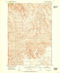
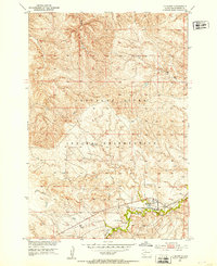
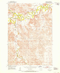
Other maps of this area
1951 · Virginia
USGS Topo · 1:24,000
1951 · Ridgeview NE
USGS Topo · 1:24,000
1951 · La Plant
USGS Topo · 1:24,000
1951 · Promise
USGS Topo · 1:24,000

1952 · Trail City SW
USGS Topo · 1:24,000
1952 · Glencross SE
USGS Topo · 1:24,000

1953 · McIntosh
USGS Topo · 1:250,000

1958 · McIntosh
USGS Topo · 1:250,000

1975 · Laundreaux Butte
USGS Topo · 1:24,000

1975 · Trail City
USGS Topo · 1:24,000