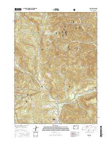
2017 Map of Trail
USGS Topo · Published 2017About this map
The Rogue River flows through the southern portion of this region, serving as the central geographic feature for the settlements of Shady Cove and Trail. This landscape is defined by the transition from the river valley to the steep elevations of the Umpqua National Forest in the northwest. Local landmarks such as Sugarloaf Mtn and Buck Rock overlook a network of tributary creeks, including Trail Cr and Elk Cr.
Find a feature on this map
73 named features on this map. Tap any name to fly to it.
Don’t see what you’re looking for? This feature index may not catch every label — zoom into the map to look around manually.
Map Details
Editions of this 2017 Trail Map
This is the sole edition of this map. No revisions or reprints were ever made.
Other maps of this area

1891 · Ashland
USGS Topo · 1:250,000

1893 · Ashland
USGS Topo · 1:250,000

1897 · Ashland
USGS Topo · 1:250,000

1943 · Trail
USGS Topo · 1:62,500

1944 · Tiller
USGS Topo · 1:62,500

1944 · Abbott Butte
USGS Topo · 1:62,500

1947 · Abbott Butte
USGS Topo · 1:62,500

1954 · Butte Falls
USGS Topo · 1:62,500

1955 · Medford
USGS Topo · 1:250,000

1957 · Medford
USGS Topo · 1:250,000