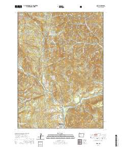
2020 Map of Trail
USGS Topo · Published 2020About this map
The Rogue River flows through the heart of this Jackson County landscape, anchoring the settlements of Trail and Rogue Elk along its banks. This 2020 survey documents a transition from the protected timberlands of the Umpqua National Forest in the northwest to the developing riverfront communities further south. The terrain is defined by prominent peaks and ridges such as Sugarloaf Mtn, Buck Rock, and Bear Mtn, while the waterway is dotted with local landmarks like Flood Rock and the Cable Hole. Evidence of local water management is seen in the Lane and Shephard Reservoirs, which sit tucked away near Kendale Cr. The road network, including Old Ferry Rd and River Heights Rd, follows the natural contours of the river valley, illustrating how the geography has historically shaped local transit and habitation patterns.
Find a feature on this map
71 named features on this map. Tap any name to fly to it.
Don’t see what you’re looking for? This feature index may not catch every label — zoom into the map to look around manually.
Map Details
Editions of this 2020 Trail Map
This is the sole edition of this map. No revisions or reprints were ever made.
Other maps of this area
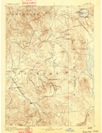
1891 · Ashland
USGS Topo · 1:250,000
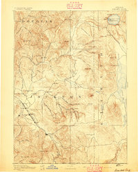
1893 · Ashland
USGS Topo · 1:250,000
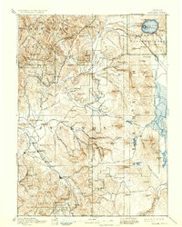
1897 · Ashland
USGS Topo · 1:250,000
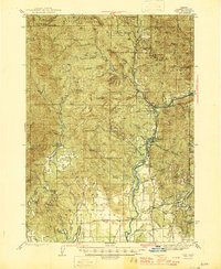
1943 · Trail
USGS Topo · 1:62,500
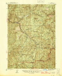
1944 · Tiller
USGS Topo · 1:62,500
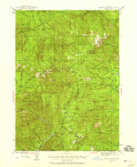
1944 · Abbott Butte
USGS Topo · 1:62,500
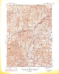
1947 · Abbott Butte
USGS Topo · 1:62,500
1954 · Butte Falls
USGS Topo · 1:62,500

1955 · Medford
USGS Topo · 1:250,000
1957 · Medford
USGS Topo · 1:250,000