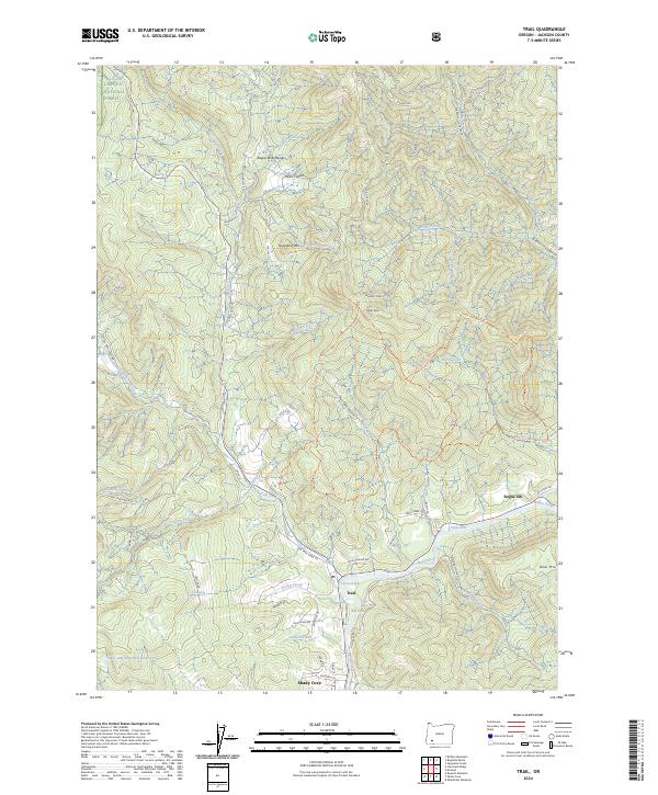
2024 Map of Trail
USGS Topo · Published 2024About this map
The Rogue River carves through the southern Oregon landscape near the settlement of Trail, where the river meets Trail Creek. This modern survey illustrates the rugged interface between the Umpqua National Forest to the north and the river valley communities of Rogue Elk and Shady Cove to the south. Local river features such as the Trail Creek Riffle, the Boil Hole, and Cable Hole provide specific navigational markers for those tracing the waterway's path.
Find a feature on this map
73 named features on this map. Tap any name to fly to it.
Don’t see what you’re looking for? This feature index may not catch every label — zoom into the map to look around manually.
Map Details
Editions of this 2024 Trail Map
This is the sole edition of this map. No revisions or reprints were ever made.
Other maps of this area

1891 · Ashland
USGS Topo · 1:250,000

1893 · Ashland
USGS Topo · 1:250,000

1897 · Ashland
USGS Topo · 1:250,000

1943 · Trail
USGS Topo · 1:62,500

1944 · Tiller
USGS Topo · 1:62,500

1944 · Abbott Butte
USGS Topo · 1:62,500

1947 · Abbott Butte
USGS Topo · 1:62,500

1954 · Butte Falls
USGS Topo · 1:62,500

1955 · Medford
USGS Topo · 1:250,000

1957 · Medford
USGS Topo · 1:250,000