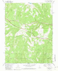
1981 Map of Trail Mountain
USGS Topo · Published 1981About this map
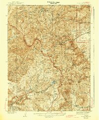
Fishlake National Forest encompasses the rugged high country of Sevier County, where complex drainage systems like Three Creeks and Clear Creek have carved deep paths through the landscape. This 1981 survey documents the area's transition into a modern multi-use wilderness, showing Interstate 70 under construction alongside historical resource extraction sites like Gravel Pits, a Mine, and a Quarry near the Red Narrows.
Find a feature on this map
47 named features on this map. Tap any name to fly to it.
Don’t see what you’re looking for? This feature index may not catch every label — zoom into the map to look around manually.
Map Details
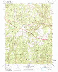
Editions of this 1981 Trail Mountain Map
2 editions found
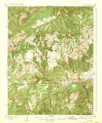
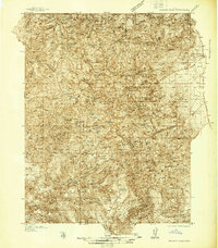
Other maps of this area

1885 · Beaver
USGS Topo · 1:250,000

1932 · Sevier
USGS Topo · 1:62,500
1935 · Sevier
USGS Topo · 1:62,500
1937 · Delano Peak
USGS Topo · 1:48,000
1943 · Delano Peak
USGS Topo · 1:62,500

1953 · Richfield
USGS Topo · 1:250,000

1954 · Beaver NE
USGS Topo · 1:24,000

1958 · Richfield
USGS Topo · 1:250,000
1958 · Beaver
USGS Topo · 1:62,500
1962 · Cove Fort
USGS Topo · 1:62,500