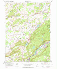
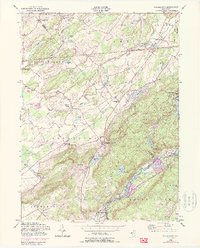
1954 Map of Tranquility
USGS Topo · Published 1977About this map
Tranquility and the surrounding township lands of Allamuchy and Frelinghuysen are captured here during a period of infrastructure expansion in the mid-1950s. The landscape is defined by the Pequest River and the Musconetcong River, which support a series of water bodies including Saxton Lake and Allamuchy Pond. Cultural landmarks such as the Tranquility Ch and Yellow Frame Ch anchor the local communities, while the presence of the Township Sch reflects the educational heart of the district.
Find a feature on this map
57 named features on this map. Tap any name to fly to it.
Don’t see what you’re looking for? This feature index may not catch every label — zoom into the map to look around manually.
Map Details
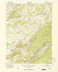
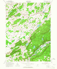
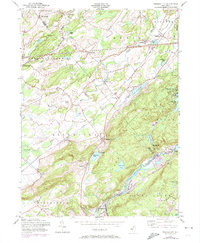
Editions of this 1954 Tranquility Map
5 editions found
Other maps of this area

1888 · Franklin
USGS Topo · 1:62,500

1888 · Hackettstown
USGS Topo · 1:62,500

1888 · Lake Hopatcong
USGS Topo · 1:62,500

1891 · Wallpack
USGS Topo · 1:62,500

1893 · Wallpack
USGS Topo · 1:62,500

1894 · Hackettstown
USGS Topo · 1:62,500

1894 · Lake Hopatcong
USGS Topo · 1:62,500

1894 · Franklin
USGS Topo · 1:62,500

1897 · Franklin
USGS Topo · 1:62,500

1898 · Lake Hopatcong
USGS Topo · 1:62,500