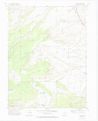
1972 Map of Trapper
USGS Topo · Published 1975About this map
Routt National Forest and White River National Forest dominate this high-altitude landscape in north-central Colorado, where the water-management infrastructure of the early 1970s is clearly visible. The region is defined by a network of ranch-oriented water systems including the Sterner Reservoir, Crossan Reservoir, and the Five Pine Mesa Ditch, all vital for supporting agriculture in Egeria Park. Small outposts like Watson and Trapper mark the limited human footprint in this terrain, which is otherwise characterized by dramatic features like Porcupine Ridge and the broad Five Pine Mesa. The Denver and Rio Grande Western railroad corridor tracks alongside Chimney Creek in the northeast corner, providing a critical transport link through the mountains. Specialized land use is further evidenced by the Finger Rock Fish Hatchery located near Phillips Creek, serving the local ecosystem and waterways.
Find a feature on this map
37 named features on this map. Tap any name to fly to it.
Don’t see what you’re looking for? This feature index may not catch every label — zoom into the map to look around manually.
Map Details
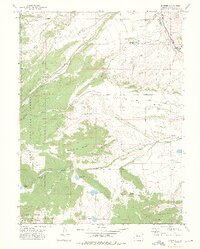
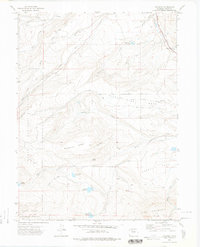
Editions of this 1972 Trapper Map
3 editions found
Other maps of this area

1927 · Glenwood Springs
USGS Topo · 1:125,000

1930 · Glenwood Springs
USGS Topo · 1:125,000

1954 · Craig
USGS Topo · 1:250,000

1957 · Craig
USGS Topo · 1:250,000

1957 · Leadville
USGS Topo · 1:250,000

1958 · Craig
USGS Topo · 1:250,000

1959 · Leadville
USGS Topo · 1:250,000

1960 · Leadville
USGS Topo · 1:250,000

1960 · Craig
USGS Topo · 1:250,000

1962 · Leadville
USGS Topo · 1:250,000