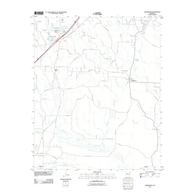
2011 Map of Traskwood
USGS Topo · Published 2011About this map
Traskwood and Glen Rose serve as the primary focal points of this 2011 survey, which captures the hydraulic and transport infrastructure of central Arkansas. The landscape is defined by its drainages, including Tenmile Creek and Francois Creek, alongside man-made impoundments like Dawson Lake and Barr Lake. The legacy of local industry is visible through specialized infrastructure such as the R R Tram and the Gifford Tram, reflecting historical logging or hauling routes that once moved through the timber-rich terrain.
Find a feature on this map
101 named features on this map. Tap any name to fly to it.
Don’t see what you’re looking for? This feature index may not catch every label — zoom into the map to look around manually.
Map Details
Editions of this 2011 Traskwood Map
This is the sole edition of this map. No revisions or reprints were ever made.
Other maps of this area

1890 · Benton
USGS Topo · 1:125,000

1894 · Benton
USGS Topo · 1:125,000

1938 · Benton
USGS Topo · 1:48,000

1944 · Benton
USGS Topo · 1:62,500

1944 · Benton
USGS Topo · 1:31,680

1948 · Malvern
USGS Topo · 1:62,500

1949 · Malvern
USGS Topo · 1:62,500

1955 · Little Rock
USGS Topo · 1:250,000

1956 · Little Rock
USGS Topo · 1:250,000

1960 · Little Rock
USGS Topo · 1:250,000