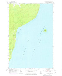
1954 Map of Traverse Island
USGS Topo · Published 1976About this map
Keweenaw Bay dominates this coastal survey, where the waters of Lake Superior meet the eastern edge of Michigan’s copper country. The shoreline is defined by the small settlement at Rabbit Bay, situated near the mouth of Lahti Creek. Further inland, the southern portion of Torch Lake and the expanse of Baraga State Forest suggest a landscape shaped by timber and water-bound commerce.
Find a feature on this map
13 named features on this map. Tap any name to fly to it.
Don’t see what you’re looking for? This feature index may not catch every label — zoom into the map to look around manually.
Map Details
Editions of this 1954 Traverse Island Map
3 editions found
Other maps of this area

1938 · Gay
USGS Topo · 1:31,680

1946 · Laurium
USGS Topo · 1:24,000

1948 · Laurium
USGS Topo · 1:24,000

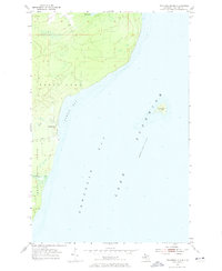
1954 · Traverse Island
USGS Topo · 1:24,000
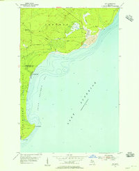
1954 · Gay
USGS Topo · 1:24,000
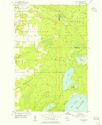
1954 · Rice Lake
USGS Topo · 1:24,000

1954 · Skanee
USGS Topo · 1:62,500

1954 · Keweenaw Bay
USGS Topo · 1:62,500

1954 · Point Mills
USGS Topo · 1:24,000

1958 · Hancock
USGS Topo · 1:250,000