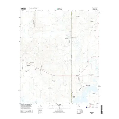
2015 Map of Trees
USGS Topo · Published 2015About this map
Caddo Lake and its western reaches anchor this landscape along the border of Louisiana and Texas. The area is defined by the wetlands and bayous that feed the lake, including the winding James Bayou and Harold Cr. High ground is marked by settlements such as Vivian and Trees, while smaller communities like Gethsemane and Gray are situated near several family and community burial grounds, including Gray Cem and Burks-Hart Cem. This 2015 study shows the modern road network, including Trees City Rd and Bonham Landing Rd, which provides access to the water's edge. The proximity of Vivian Airport to the town center highlights the regional infrastructure supporting these lakeside and rural communities. Along the shore, Stacy Landing and Bonham Landing indicate the long-standing importance of water access for recreation or commerce in this borderland region.
Find a feature on this map
59 named features on this map. Tap any name to fly to it.
Don’t see what you’re looking for? This feature index may not catch every label — zoom into the map to look around manually.
Map Details
Editions of this 2015 Trees Map
This is the sole edition of this map. No revisions or reprints were ever made.
Other maps of this area

1932 · Hosston NW
USGS Topo · 1:31,680

1932 · Hosston SW
USGS Topo · 1:31,680

1944 · Kildare
USGS Topo · 1:62,500

1944 · Caddo Lake
USGS Topo · 1:62,500

1946 · Caddo Lake
USGS Topo · 1:62,500

1948 · Kildare
USGS Topo · 1:62,500

1948 · Mooringsport
USGS Topo · 1:62,500

1948 · Vivian
USGS Topo · 1:62,500

1955 · Shreveport
USGS Topo · 1:250,000

1955 · Mooringsport
USGS Topo · 1:62,500