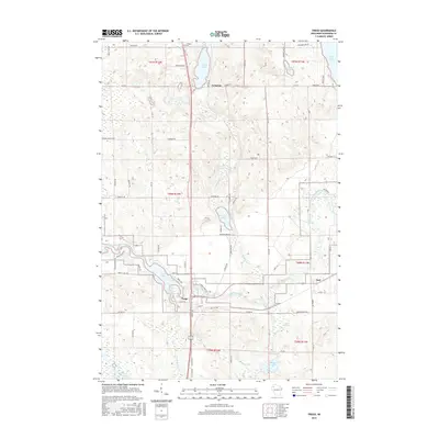
2015 Map of Trego
USGS Topo · Published 2015About this map
The Namekagon River defines the landscape of central Washburn County as it flows westward through Trego, eventually broadening into Trego Lake. This region is characterized by an intricate network of aquatic features, including Whalen Springs and Earl Springs, which feed into the larger glacial lakes and creeks that crisscross the terrain. The settlement of Lampson sits in the northern reaches, near the Lampson Cem, while the small community of Earl anchors the eastern edge of the survey.
Find a feature on this map
78 named features on this map. Tap any name to fly to it.
Don’t see what you’re looking for? This feature index may not catch every label — zoom into the map to look around manually.
Map Details
Editions of this 2015 Trego Map
This is the sole edition of this map. No revisions or reprints were ever made.
Other maps of this area
1947 · Chittamo
USGS Topo · 1:48,000
1947 · Minong
USGS Topo · 1:48,000
1948 · Spooner
USGS Topo · 1:48,000
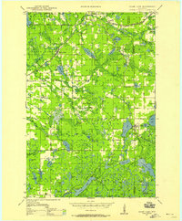
1948 · Stone Lake
USGS Topo · 1:48,000
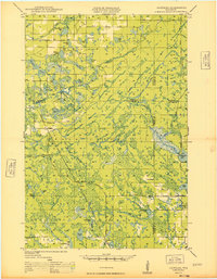
1949 · Chittamo
USGS Topo · 1:48,000
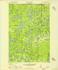
1949 · Minong
USGS Topo · 1:48,000
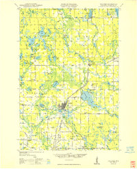
1949 · Spooner
USGS Topo · 1:48,000
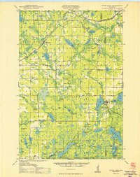
1950 · Stone Lake
USGS Topo · 1:48,000

1953 · Ashland
USGS Topo · 1:250,000

1953 · Rice Lake
USGS Topo · 1:250,000