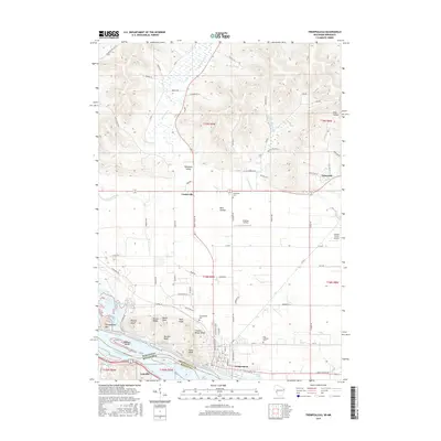
2015 Map of Trempealeau
USGS Topo · Published 2015About this map
Trempealeau sits at the southern edge of this landscape where the Trempealeau River meets the Mississippi River at Pool 6. The topography is defined by the sharp bluffs and coulees of the Driftless Area, including prominent heights like Eagle Bluff, Chicken-Breast Bluff, and Bunnels Bluff. Further inland, the terrain softens into the Tamarack Valley, where Centerville and Dale Valley represent small agricultural crossroads.
Find a feature on this map
91 named features on this map. Tap any name to fly to it.
Don’t see what you’re looking for? This feature index may not catch every label — zoom into the map to look around manually.
Map Details
Editions of this 2015 Trempealeau Map
This is the sole edition of this map. No revisions or reprints were ever made.
Other maps of this area

1929 · Fountain City
USGS Topo · 1:62,500

1929 · Galesville
USGS Topo · 1:62,500

1930 · La Crescent
USGS Topo · 1:62,500

1934 · Winona
USGS Topo · 1:62,500

1937 · Winona
USGS Topo · 1:62,500

1953 · Eau Claire
USGS Topo · 1:250,000

1956 · La Crescent
USGS Topo · 1:62,500

1958 · Eau Claire
USGS Topo · 1:250,000

1958 · Houston
USGS Topo · 1:62,500

1958 · La Crosse
USGS Topo · 1:250,000