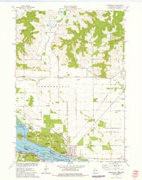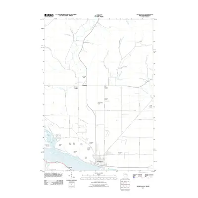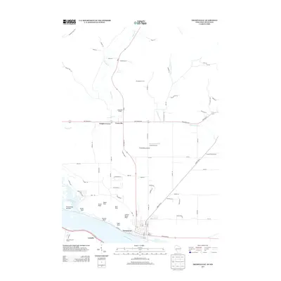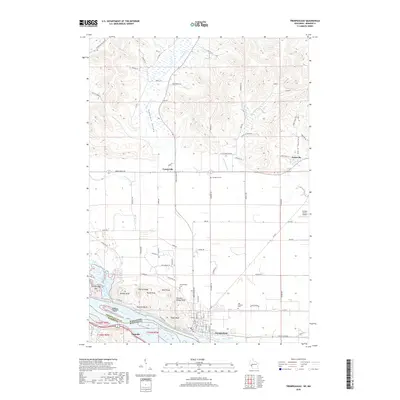
2022 Map of Trempealeau
USGS Topo · Published 2022About this map
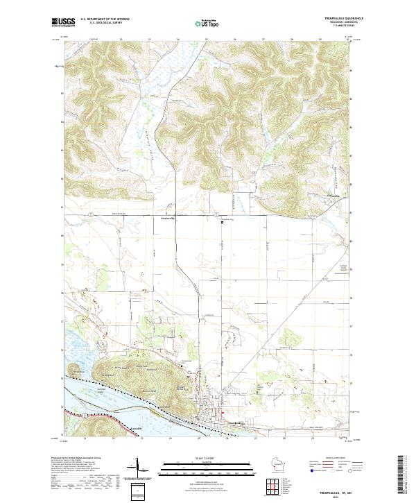
Mississippi River bluffs and bottomlands dominate this riverine borderland between Wisconsin and Minnesota. The village of Trempealeau sits at the foot of a series of dramatic elevations, including Trempealeau Mtn, Bradys Bluff, and Eagle Bluff, which overlook Trempealeau Bay. Further north, the landscape transitions into the agricultural reaches of Tamarack Valley and Dale Valley, where the settlements of Centerville and the edge of Galesville are connected by the Great River Rd.
Find a feature on this map
101 named features on this map. Tap any name to fly to it.
Don’t see what you’re looking for? This feature index may not catch every label — zoom into the map to look around manually.
Map Details
Editions of this 2022 Trempealeau Map
This is the sole edition of this map. No revisions or reprints were ever made.
Historical Maps of Trempealeau Through Time
6 maps found