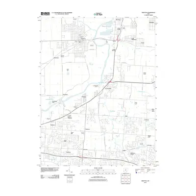
2010 Map of Trenton
USGS Topo · Published 2010About this map
The Great Miami River anchors this landscape, winding between established settlements and rising residential developments in Butler County. Near the bend in the river, Trenton serves as a central hub, supported by the Trenton Post Office and several historic burial grounds, including Holy Name Cemetery and Saint Johns Cemetery. To the east, the industrial character of Excello and North Excello is defined by the proximity of Dicks Creek and large-scale infrastructure.
Find a feature on this map
81 named features on this map. Tap any name to fly to it.
Don’t see what you’re looking for? This feature index may not catch every label — zoom into the map to look around manually.
Map Details
Editions of this 2010 Trenton Map
This is the sole edition of this map. No revisions or reprints were ever made.
Other maps of this area

1904 · Mason
USGS Topo · 1:62,500

1906 · Mason
USGS Topo · 1:62,500

1908 · Miamisburg
USGS Topo · 1:62,500

1911 · Oxford
USGS Topo · 1:62,500

1915 · Hamilton
USGS Topo · 1:62,500

1917 · Hamilton
USGS Topo · 1:62,500

1951 · Franklin
USGS Topo · 1:24,000

1953 · Cincinnati
USGS Topo · 1:250,000

1955 · Monroe
USGS Topo · 1:24,000

1955 · Hamilton
USGS Topo · 1:24,000