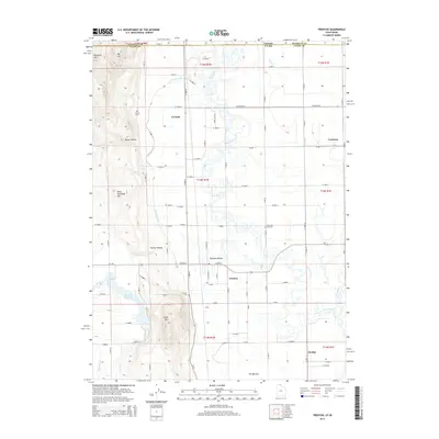
2014 Map of Trenton
USGS Topo · Published 2014About this map
The Bear River meanders through this borderland between Franklin and Cache counties, marking the transition between the agricultural flats of northern Utah and southern Idaho. Central to the landscape is Trenton, surrounded by a grid of rural roads and irrigation features like the W Cache Canal and W Canal. These waterways reflect the region's managed water system, essential for supporting the small settlements of Cornish, Cottle, and Amalga. To the west, the terrain rises toward Pete McCombs Hill and Little Mtn, overlooking the Newton Reservoir and the drainage of Newton Cr. Local history is anchored by several sites of remembrance, including the Cornish Cem, Clarkston City Cem, and Trenton Cem. This survey illustrates the intricate relationship between the natural river path and the human-engineered canal networks that define the Cache Valley's rural character.
Find a feature on this map
63 named features on this map. Tap any name to fly to it.
Don’t see what you’re looking for? This feature index may not catch every label — zoom into the map to look around manually.
Map Details
Editions of this 2014 Trenton Map
This is the sole edition of this map. No revisions or reprints were ever made.
Other maps of this area

1914 · Logan
USGS Topo · 1:125,000

1915 · Preston
USGS Topo · 1:96,000

1916 · Logan
USGS Topo · 1:125,000

1918 · Preston
USGS Topo · 1:125,000

1954 · Pocatello
USGS Topo · 1:250,000

1954 · Ogden
USGS Topo · 1:250,000

1954 · Brigham City
USGS Topo · 1:250,000

1955 · Preston
USGS Topo · 1:250,000

1958 · Ogden
USGS Topo · 1:250,000

1958 · Pocatello
USGS Topo · 1:250,000