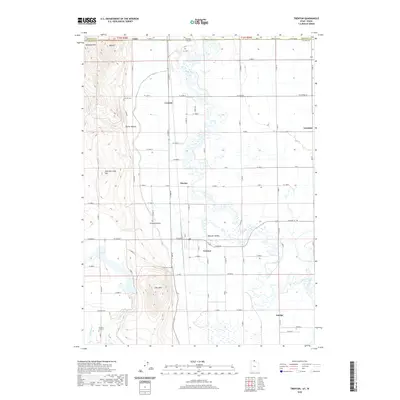
2020 Map of Trenton
USGS Topo · Published 2020About this map
Bear River dominates the central corridor of this Cache Valley landscape, winding through a complex system of agricultural grids and drainage features like The Slough and Newton Cr. The survey illustrates a borderland geography where Cornish sits just south of the Utah-Idaho stateline, connected by a network of rural routes such as Stateline Rd and W Center St. The placement of the Trenton Cem, Cornish Cem, and Newton Cemetery suggests long-established settlement patterns in these fertile lowlands. Significant elevation changes are noted at Bergeson Hill and Little Mtn, which overlook the small hubs of Trenton, Amalga, and Morton. This modern topographic study reveals how the valley floor remains defined by its watercourses and a rigid grid of country roads that serve as the lifeline for these small communities.
Find a feature on this map
55 named features on this map. Tap any name to fly to it.
Don’t see what you’re looking for? This feature index may not catch every label — zoom into the map to look around manually.
Map Details
Editions of this 2020 Trenton Map
This is the sole edition of this map. No revisions or reprints were ever made.
Other maps of this area

1914 · Logan
USGS Topo · 1:125,000

1915 · Preston
USGS Topo · 1:96,000

1916 · Logan
USGS Topo · 1:125,000

1918 · Preston
USGS Topo · 1:125,000

1954 · Pocatello
USGS Topo · 1:250,000

1954 · Ogden
USGS Topo · 1:250,000

1954 · Brigham City
USGS Topo · 1:250,000

1955 · Preston
USGS Topo · 1:250,000

1958 · Ogden
USGS Topo · 1:250,000

1958 · Pocatello
USGS Topo · 1:250,000