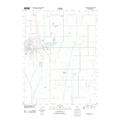
2012 Map of Trenton East
USGS Topo · Published 2012About this map
Trenton serves as the focal point for this Grundy County landscape, where the town’s eastern residential blocks give way to a network of creek valleys and agricultural tracts. The terrain is defined by the convergence of several waterways, including the Thompson River, Muddy Creek, and Honey Creek, which dictate the local topography and the placement of infrastructure. Notable water management features include Trenton Upper Lake and Trenton Lower Lake, along with structures like the Tipton Lake Dam and Mack and Woodard Lake Section 35 Dam.
Find a feature on this map
74 named features on this map. Tap any name to fly to it.
Don’t see what you’re looking for? This feature index may not catch every label — zoom into the map to look around manually.
Map Details
Editions of this 2012 Trenton East Map
This is the sole edition of this map. No revisions or reprints were ever made.
Other maps of this area

1921 · Chillicothe
USGS Topo · 1:62,500

1923 · Chillicothe
USGS Topo · 1:62,500

1924 · Chula
USGS Topo · 1:62,500

1946 · Galt
USGS Topo · 1:62,500

1947 · Chula
USGS Topo · 1:62,500

1948 · Trenton
USGS Topo · 1:62,500

1949 · Galt
USGS Topo · 1:62,500

1953 · Moberly
USGS Topo · 1:250,000

1954 · Centerville
USGS Topo · 1:250,000

1954 · Moberly
USGS Topo · 1:250,000