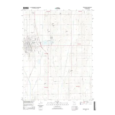
2014 Map of Trenton East
USGS Topo · Published 2014About this map
Trenton serves as the primary hub of this landscape, situated at the confluence of several significant water bodies and transportation corridors. The city's eastern expansion is bounded by Muddy Creek, while the Thompson River winds through the southwestern corner. Educational and civic infrastructure is represented by the N Central Missouri Coll campus and the nearby Trenton Municipal Airport, which marks a clear transition from urban blocks to the sprawling agricultural sections of Grundy County.
Find a feature on this map
115 named features on this map. Tap any name to fly to it.
Don’t see what you’re looking for? This feature index may not catch every label — zoom into the map to look around manually.
Map Details
Editions of this 2014 Trenton East Map
This is the sole edition of this map. No revisions or reprints were ever made.
Other maps of this area

1921 · Chillicothe
USGS Topo · 1:62,500

1923 · Chillicothe
USGS Topo · 1:62,500

1924 · Chula
USGS Topo · 1:62,500

1946 · Galt
USGS Topo · 1:62,500

1947 · Chula
USGS Topo · 1:62,500

1948 · Trenton
USGS Topo · 1:62,500

1949 · Galt
USGS Topo · 1:62,500

1953 · Moberly
USGS Topo · 1:250,000

1954 · Centerville
USGS Topo · 1:250,000

1954 · Moberly
USGS Topo · 1:250,000