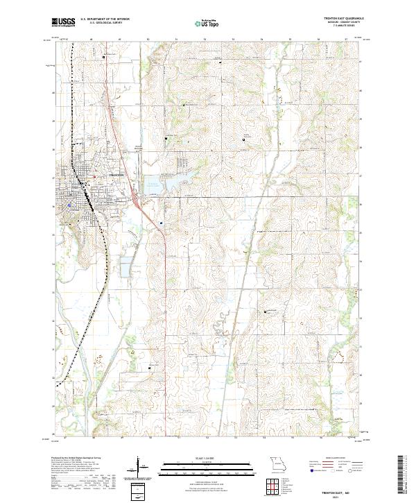
2021 Map of Trenton East
USGS Topo · Published 2021About this map
Trenton serves as the focal point of this Grundy County landscape, where the confluence of civic life and natural waterways is clearly defined. The Grundy County Courthouse and North Central Missouri College anchor the town's center, while the Trenton Municipal Airport and Trenton Lower Lake mark its eastern expansion. The geography is deeply etched by the meandering courses of Muddy Creek and Honey Creek, which flow toward the Thompson River in the southwest. A notable pattern of rural heritage is visible through numerous burial grounds, including the Old City Cem, County Farm Cem, and several family-named plots like Drummond Cem and Skinner Cem. These sites, scattered across the township grid, provide valuable touchpoints for genealogical research and local history, tracing the settlement footprint across the fertile Missouri plains near the Old Channel Thompson River.
Find a feature on this map
110 named features on this map. Tap any name to fly to it.
Don’t see what you’re looking for? This feature index may not catch every label — zoom into the map to look around manually.
Map Details
Editions of this 2021 Trenton East Map
This is the sole edition of this map. No revisions or reprints were ever made.
Other maps of this area

1921 · Chillicothe
USGS Topo · 1:62,500

1923 · Chillicothe
USGS Topo · 1:62,500

1924 · Chula
USGS Topo · 1:62,500

1946 · Galt
USGS Topo · 1:62,500

1947 · Chula
USGS Topo · 1:62,500

1948 · Trenton
USGS Topo · 1:62,500

1949 · Galt
USGS Topo · 1:62,500

1953 · Moberly
USGS Topo · 1:250,000

1954 · Centerville
USGS Topo · 1:250,000

1954 · Moberly
USGS Topo · 1:250,000