
1962 Map of Trenton
USGS Topo · Published 1964About this map
Trenton stands as the primary hub of this Southwest Nebraska landscape during the early 1960s, situated at the confluence of rail and water. The town is flanked by the Chicago Burlington and Quincy railroad and the Republican River, which flows into the expansive Swanson Lake. This artificial reservoir dominates the southwestern portion of the map, held back by a dam near the Gaging Station. The surrounding terrain is defined by a network of deep drainages, most notably Massacre Canyon and Macklin Canyon, cutting through the high plains of the Starkey Ridnour area.
Find a feature on this map
26 named features on this map. Tap any name to fly to it.
Don’t see what you’re looking for? This feature index may not catch every label — zoom into the map to look around manually.
Map Details
Editions of this 1962 Trenton Map
This is the sole edition of this map. No revisions or reprints were ever made.
Other maps of this area

1954 · McCook
USGS Topo · 1:250,000

1957 · McCook
USGS Topo · 1:250,000

1958 · McCook
USGS Topo · 1:250,000

1962 · Trenton SW
USGS Topo · 1:24,000

1962 · Culbertson NW
USGS Topo · 1:24,000

1962 · Culbertson SW
USGS Topo · 1:24,000
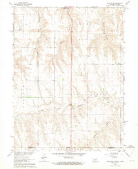
1962 · Trenton SE
USGS Topo · 1:24,000

1962 · Stratton
USGS Topo · 1:24,000

1973 · Palisade
USGS Topo · 1:24,000
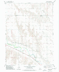
1973 · Beverly
USGS Topo · 1:24,000