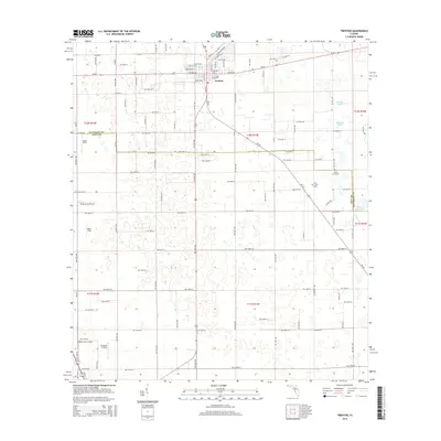
2015 Map of Trenton
USGS Topo · Published 2015About this map
Trenton serves as the focal point of this North Central Florida landscape, situated where the borders of Gilchrist and Levy counties meet. The town's grid is well-established, branching out from the intersection of SR-26 and SR-47, with residential and commercial streets such as Wade Avenue and Rowland Boulevard defining the local community. The surrounding countryside is marked by a unique concentration of aviation sites, including Ames Field, Windy Acres Airport, and Neal Field, alongside private landing sites like White Farms Airport and Brookins Air Strip, suggesting a robust regional aviation culture.
Find a feature on this map
72 named features on this map. Tap any name to fly to it.
Don’t see what you’re looking for? This feature index may not catch every label — zoom into the map to look around manually.
Map Details
Editions of this 2015 Trenton Map
This is the sole edition of this map. No revisions or reprints were ever made.
Other maps of this area

1954 · Chiefland
USGS Topo · 1:24,000

1954 · Bronson
USGS Topo · 1:24,000

1954 · Manatee Springs
USGS Topo · 1:24,000

1954 · Gainesville
USGS Topo · 1:250,000

1958 · Gainesville
USGS Topo · 1:250,000

1959 · Gainesville
USGS Topo · 1:250,000

1968 · Newberry SW
USGS Topo · 1:24,000

1968 · Waters Lake
USGS Topo · 1:24,000

1968 · Fourmile Lake
USGS Topo · 1:24,000

1968 · Trenton
USGS Topo · 1:24,000