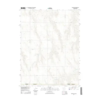
2014 Map of Trenton SW
USGS Topo · Published 2014About this map
Ne State Line Rd marks the northern boundary of this western plains landscape, where the border between Nebraska and Kansas meets the line separating Hitchcock and Rawlins Counties. The terrain is defined by the drainage patterns of the N Fork Driftwood Cr, which cuts through the high plains topography. Human impact on the land is represented by the Duhnke Reservoir and a rigid grid of local thoroughfares including 5th Ave and Veterans Memorial Hwy. This modern survey illustrates how 21st-century infrastructure like String Town Road 1 continues to follow the section lines established by early surveyors, maintaining the traditional Midwestern land management system in a region primarily dedicated to agriculture and water conservation.
Find a feature on this map
11 named features on this map. Tap any name to fly to it.
Don’t see what you’re looking for? This feature index may not catch every label — zoom into the map to look around manually.
Map Details
Editions of this 2014 Trenton SW Map
This is the sole edition of this map. No revisions or reprints were ever made.
Other maps of this area

1950 · Mc Donald
USGS Topo · 1:62,500

1951 · Mc Donald
USGS Topo · 1:62,500

1951 · Atwood
USGS Topo · 1:62,500

1954 · McCook
USGS Topo · 1:250,000

1954 · Goodland
USGS Topo · 1:250,000

1956 · Goodland
USGS Topo · 1:250,000

1957 · McCook
USGS Topo · 1:250,000

1957 · Goodland
USGS Topo · 1:250,000

1958 · McCook
USGS Topo · 1:250,000

1962 · Trenton
USGS Topo · 1:24,000