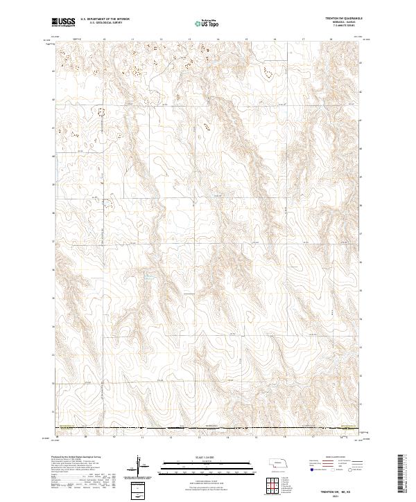
2021 Map of Trenton SW
USGS Topo · Published 2021About this map
Dahnke Reservoir sits at the center of this 2021 study, serving as a primary water feature in a landscape defined by its agricultural grid. The terrain straddles the High Plains border, with the Nebraska Kansas state line and the divide between Hitchcock Co and Rawlins Co crossing the southern portion of the sheet. The area is dominated by a systematic network of section roads including Veterans Memorial Hwy, 9th Ave, and Rd Ee. This modern survey illustrates the persistent importance of water management and transportation infrastructure in a sparsely populated ranching and farming region. The land is organized through the Public Land Survey System, as shown by the townships t1n r35w and t1n r34w, which delineate the expansive, open character of the Nebraska-Kansas borderlands.
Find a feature on this map
28 named features on this map. Tap any name to fly to it.
Don’t see what you’re looking for? This feature index may not catch every label — zoom into the map to look around manually.
Map Details
Editions of this 2021 Trenton SW Map
This is the sole edition of this map. No revisions or reprints were ever made.
Other maps of this area

1950 · Mc Donald
USGS Topo · 1:62,500

1951 · Mc Donald
USGS Topo · 1:62,500

1951 · Atwood
USGS Topo · 1:62,500

1954 · McCook
USGS Topo · 1:250,000

1954 · Goodland
USGS Topo · 1:250,000

1956 · Goodland
USGS Topo · 1:250,000

1957 · McCook
USGS Topo · 1:250,000

1957 · Goodland
USGS Topo · 1:250,000

1958 · McCook
USGS Topo · 1:250,000

1962 · Trenton
USGS Topo · 1:24,000