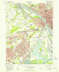
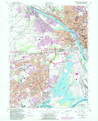
1955 Map of Trenton West
USGS Topo · Published 1957About this map
The post-war suburban landscape of Levittown and Fairless Hills dominates this mid-century survey, revealing the rapid transformation of the riverfront. Planned residential clusters like Magnolia Hill, Holly Hill, and Dogwood Hollow spread across the terrain formerly defined by agricultural crossings and the Pennsylvania RR. Along the Delaware River, the transition from the industrial density of Trenton and Morrisville to the sprawling new developments is clear, anchored by the historic Pennsbury Manor State Park and the large expanse of Van Sciver Lake. Institutional landmarks including the State Hospital and State Prison remain prominent in the urban core, while the interior is dotted with newly established schools like the Walt Disney Sch and Ralph Waldo Emerson Sch, reflecting the massive population shift into the Delaware Valley during this era.
Find a feature on this map
118 named features on this map. Tap any name to fly to it.
Don’t see what you’re looking for? This feature index may not catch every label — zoom into the map to look around manually.
Map Details
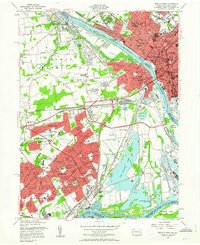
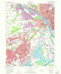
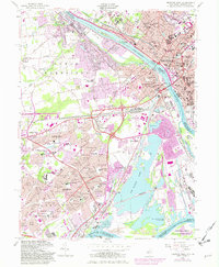
Editions of this 1955 Trenton West Map
5 editions found
Other maps of this area

1888 · Bordentown
USGS Topo · 1:62,500

1888 · Princeton
USGS Topo · 1:62,500

1890 · Lambertville
USGS Topo · 1:62,500

1890 · Burlington
USGS Topo · 1:62,500

1891 · Lambertville
USGS Topo · 1:62,500

1893 · Bordentown
USGS Topo · 1:62,500

1893 · Burlington
USGS Topo · 1:62,500

1894 · Princeton
USGS Topo · 1:62,500

1894 · Lambertville
USGS Topo · 1:62,500

1904 · Burlington
USGS Topo · 1:62,500
Featured Places
- Hamilton Township, NJ
- Trenton, NJ
- Levittown, Bristol Township
- Middletown Township, PA
- Ewing Township, NJ