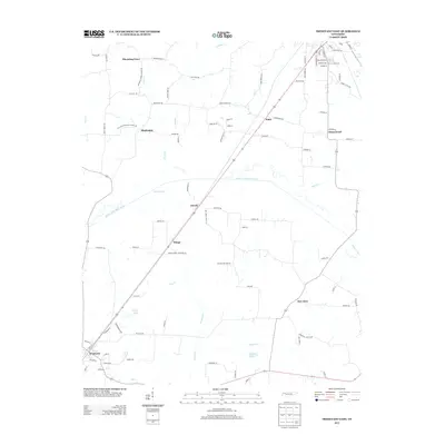
2013 Map of Trezevant East
USGS Topo · Published 2013About this map
Blooming Grove and Hinkledale anchor the northwestern portion of this Carroll County landscape, where small rural settlements are linked by a network of local roads that often bear the names of early resident families. The winding path of the South Fork Obion River bisects the terrain, creating a natural drainage system fed by Reedy Creek, Elender Cr, and Lick Cr. The topographic detail reveals several smaller water bodies, including Shoof Lake and Presely Lake. Significant for genealogical research, the area includes several historical markers such as Wingo Chapel Cemetery Ln and Wilder Cemetery Rd, alongside the location of the Old Christmasville School Rd, which hints at the community centers of previous generations. The primary transit corridor runs diagonally through Wingo and Jarrell, connecting the rural interior to the town of Trezevant in the southwest.
Find a feature on this map
92 named features on this map. Tap any name to fly to it.
Don’t see what you’re looking for? This feature index may not catch every label — zoom into the map to look around manually.
Map Details
Editions of this 2013 Trezevant East Map
This is the sole edition of this map. No revisions or reprints were ever made.
Other maps of this area

1936 · Center Ridge
USGS Topo · 1:24,000

1950 · Palmer Shelter
USGS Topo · 1:24,000

1955 · Henry
USGS Topo · 1:24,000

1955 · Huntingdon
USGS Topo · 1:24,000

1956 · Dyersburg
USGS Topo · 1:250,000

1956 · Blytheville
USGS Topo · 1:250,000

1959 · Blytheville
USGS Topo · 1:250,000

1966 · Mc Lemoresville
USGS Topo · 1:24,000

1966 · Atwood
USGS Topo · 1:24,000

1966 · Trezevant West
USGS Topo · 1:24,000