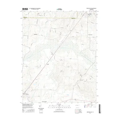
2016 Map of Trezevant East
USGS Topo · Published 2016About this map
The South Fork Obion River meanders across this rural landscape where the border of Weakley and Carroll counties meets. The area is characterized by a high density of community burial grounds, serving as a critical resource for genealogists researching families from McKenzie, Trezevant, and the surrounding hamlets. Small agricultural settlements like Hinkledale, Jarrell, and New Zion are connected by a network of country roads, including the historically named Old Christmasville School Rd.
Find a feature on this map
80 named features on this map. Tap any name to fly to it.
Don’t see what you’re looking for? This feature index may not catch every label — zoom into the map to look around manually.
Map Details
Editions of this 2016 Trezevant East Map
This is the sole edition of this map. No revisions or reprints were ever made.
Other maps of this area

1936 · Center Ridge
USGS Topo · 1:24,000

1950 · Palmer Shelter
USGS Topo · 1:24,000

1955 · Henry
USGS Topo · 1:24,000

1955 · Huntingdon
USGS Topo · 1:24,000

1956 · Dyersburg
USGS Topo · 1:250,000

1956 · Blytheville
USGS Topo · 1:250,000

1959 · Blytheville
USGS Topo · 1:250,000

1966 · Mc Lemoresville
USGS Topo · 1:24,000

1966 · Atwood
USGS Topo · 1:24,000

1966 · Trezevant West
USGS Topo · 1:24,000