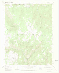
1966 Map of Triangle Park
USGS Topo · Published 1969About this map
White River National Forest lands dominate this mid-century survey of the high country along the Rio Blanco and Garfield County line. The landscape is defined by a series of high mesas and flat-bottomed parks, including Coulter Mesa and the eponymous Triangle Park. Human activity is concentrated along the New Castle Buford Road, where recreation and ranching converge at sites like Mud Spring Ranch and Three Forks Campground. The presence of several corral sites and numerous trails, such as the Pack Trail and Jeep Trail, suggests a working landscape utilized for livestock and backcountry access. Water resources are varied, ranging from the small Dynamite Lake and Corbett Lake to the headwaters of Rifle Creek and the East Fork North Elk Creek, illustrating the complex drainage patterns of this high-elevation plateau.
Find a feature on this map
56 named features on this map. Tap any name to fly to it.
Don’t see what you’re looking for? This feature index may not catch every label — zoom into the map to look around manually.
Map Details
Editions of this 1966 Triangle Park Map
4 editions found
Other maps of this area

1906 · Grand Hogback
USGS Topo · 1:125,000

1910 · Grand Hogback
USGS Topo · 1:125,000

1952 · Horse Mountain
USGS Topo · 1:24,000

1957 · Leadville
USGS Topo · 1:250,000

1959 · Leadville
USGS Topo · 1:250,000

1960 · Leadville
USGS Topo · 1:250,000

1962 · Leadville
USGS Topo · 1:250,000

1964 · Leadville
USGS Topo · 1:250,000
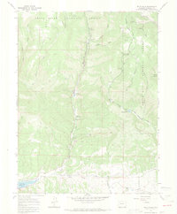
1966 · Rifle Falls
USGS Topo · 1:24,000
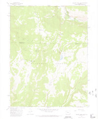
1966 · Meadow Creek Lake
USGS Topo · 1:24,000