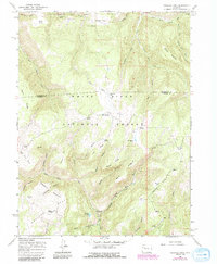
1966 Map of Triangle Park
USGS Topo · Published 1988About this map
White River National Forest defines this high-elevation landscape in Garfield County, where the topography is shaped by deep drainages like Irish Gulch and Snowdrift Gulch. The map captures a working wilderness in the mid-1960s, evidenced by the Mud Spring Ranch and several corral sites situated near the namesake Triangle Park. Transportation is focused on the New Castle Buford Road, which provides access to recreational landmarks such as Coulter Lake and the Three Forks Campground. The presence of Dynamite Lake and numerous named springs, including Orphan Spring and G V Spring, highlights the critical importance of water management in this mountainous terrain. Ridges and mesas, such as Stump Ridge and Outer Mesa, divide the various forks of North Elk Creek, illustrating the complex watershed patterns that dictate the movement of people and livestock through the forest.
Find a feature on this map
51 named features on this map. Tap any name to fly to it.
Don’t see what you’re looking for? This feature index may not catch every label — zoom into the map to look around manually.
Map Details
Editions of this 1966 Triangle Park Map
4 editions found
Other maps of this area

1906 · Grand Hogback
USGS Topo · 1:125,000

1910 · Grand Hogback
USGS Topo · 1:125,000

1952 · Horse Mountain
USGS Topo · 1:24,000

1957 · Leadville
USGS Topo · 1:250,000

1959 · Leadville
USGS Topo · 1:250,000

1960 · Leadville
USGS Topo · 1:250,000

1962 · Leadville
USGS Topo · 1:250,000

1964 · Leadville
USGS Topo · 1:250,000
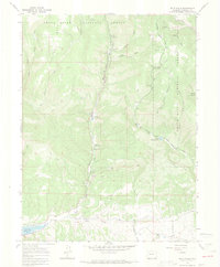
1966 · Rifle Falls
USGS Topo · 1:24,000
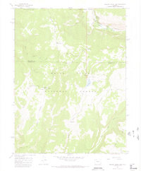
1966 · Meadow Creek Lake
USGS Topo · 1:24,000