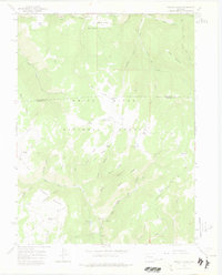
1966 Map of Triangle Park
USGS Topo · Published 1975About this map
White River National Forest defines the character of this mid-1960s landscape, where the high mountain terrain of the Coulter mesa meets a dense network of watercourses and seasonal camps. The map captures a transition in the backcountry economy, moving from traditional ranching and herding at Mud Spring Ranch and Hamilton Camp toward established recreation sites such as Three Forks Campground and the Spruce Picnic Area.
Find a feature on this map
60 named features on this map. Tap any name to fly to it.
Don’t see what you’re looking for? This feature index may not catch every label — zoom into the map to look around manually.
Map Details
Editions of this 1966 Triangle Park Map
4 editions found
Other maps of this area

1906 · Grand Hogback
USGS Topo · 1:125,000

1910 · Grand Hogback
USGS Topo · 1:125,000

1952 · Horse Mountain
USGS Topo · 1:24,000

1957 · Leadville
USGS Topo · 1:250,000

1959 · Leadville
USGS Topo · 1:250,000

1960 · Leadville
USGS Topo · 1:250,000

1962 · Leadville
USGS Topo · 1:250,000

1964 · Leadville
USGS Topo · 1:250,000
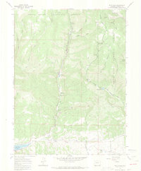
1966 · Rifle Falls
USGS Topo · 1:24,000
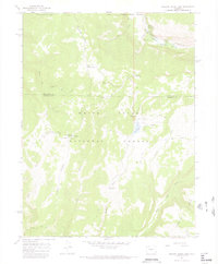
1966 · Meadow Creek Lake
USGS Topo · 1:24,000