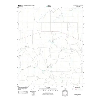
2010 Map of Triangle Ranch
USGS Topo · Published 2010About this map
Triangle Ranch and the small settlement of Ogden define this Cottle County landscape, where ranching infrastructure and seasonal watercourses shape the terrain. The area is characterized by an extensive network of county roads and ranch-to-market routes, including Ranch Rd 2564 and Co Rd 328, which connect isolated windmills and water tanks. These features, such as Cactus Flats Windmill and Matador Tank, are essential markers of land use in this arid region.
Find a feature on this map
34 named features on this map. Tap any name to fly to it.
Don’t see what you’re looking for? This feature index may not catch every label — zoom into the map to look around manually.
Map Details
Editions of this 2010 Triangle Ranch Map
This is the sole edition of this map. No revisions or reprints were ever made.
Other maps of this area

1927 · Quanah 3-b
USGS Topo · 1:48,000

1932 · Vivian
USGS Topo · 1:62,500

1954 · Lubbock
USGS Topo · 1:250,000

1954 · Plainview
USGS Topo · 1:250,000

1954 · Wichita Falls
USGS Topo · 1:250,000

1955 · Lawton
USGS Topo · 1:250,000

1958 · Wichita Falls
USGS Topo · 1:250,000

1958 · Plainview
USGS Topo · 1:250,000

1960 · Teacup Mountain
USGS Topo · 1:62,500

1967 · Triangle Ranch
USGS Topo · 1:24,000